Sea Change
India’s maritime ambitions cannot be measured by a ceremonial warship commissioning or ambitious infrastructure announcements alone.
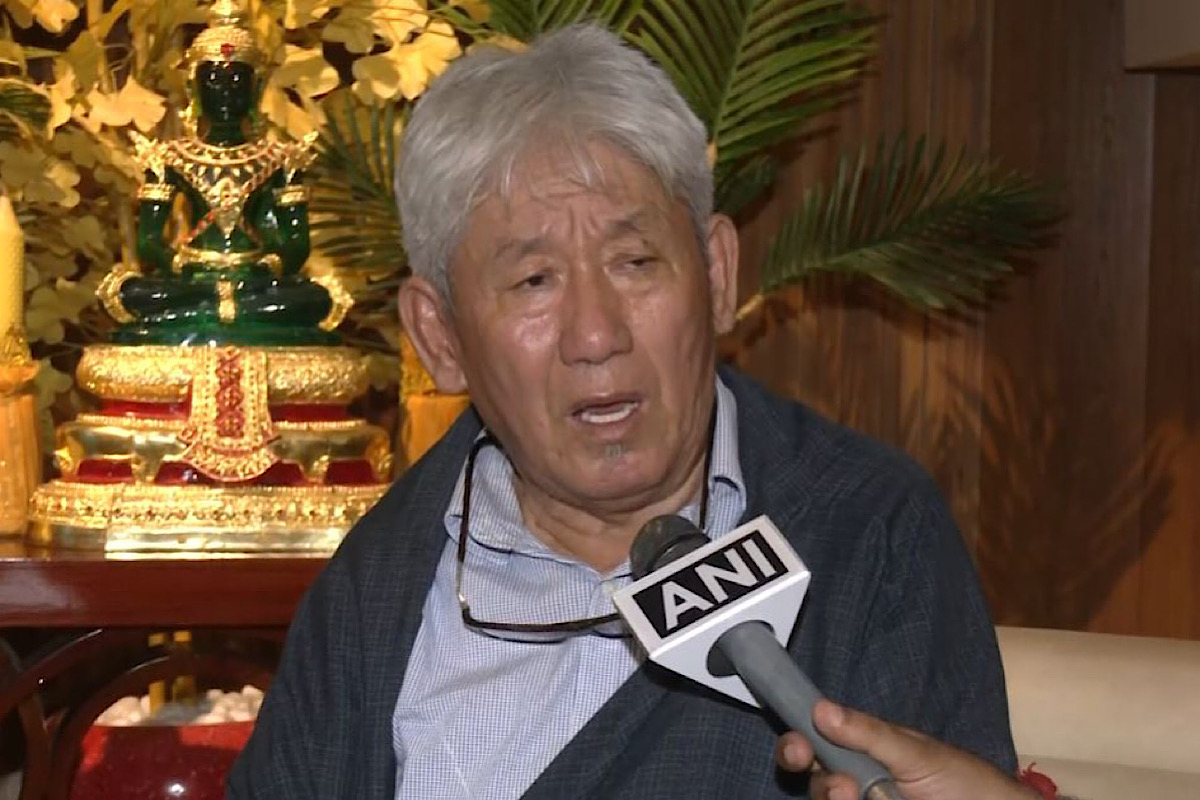
Condemning China for incorporating Arunachal Pradesh and Aksai Chin in its new map, Member of Tibetan Parliament-in-exile, Dawa Tsering, said,…

Tibetan MP in exile Dewa Tsering (Photo:ANI)
Condemning China for incorporating Arunachal Pradesh and Aksai Chin in its new map, Member of Tibetan Parliament-in-exile, Dawa Tsering, said, “China can never be trusted.”
China on Monday released the 2023 edition of its “standard map,” which shows the state of Arunachal Pradesh and the Aksai Chin region as part of its territory.
“China always says that it wants friendship with you but China’s malice is concealed behind its sweet talk. Never trust Chna and its leaders, because they can never be anybody’s friends,” Tsering told ANI.
”Xi Jinping should never-ever be trusted,” he stressed. He also urged, “All South Asian countries to stand against the Chinese expansionist policy. It has to be condemned.”
Another Tibetan MP in exile, Yeshi Dolma called China’s act “provocative”.
Advertisement
She said that China wants to provoke India ahead of the G20 Summit next month.
“China illegally invaded Tibet in 1959, and now it is trying to encroach the border of neighbouring country India,” Dolma told ANI.
The two Tibetan MPs in exile made these remarks while interacting with ANI during the Jammu chapter of their visits to different Indian states. A delegation of 11 Tibetan MPs in exile is on an India tour, visiting leaders and intellects of different states to make them aware of the situation in Tibet.
Advertisement
In Jammu, they also met with strategic analyst, Lt Gen Rakesh Sharma, who also expressed his opinion on China’s expansionist policy and called the new ‘standard map’ of China, “absolutely wrong”.
“China is an expansionist country and its first example is Tibet which was an independent kingdom and was captured by China in 1950. After that China started spreading all around and they came to Aksai Chin as well….now they are spreading their legs everywhere in Taiwan,” Lt Gen Sharma told ANI.
“This is absolutely wrong. All historical records show that Aksai Chin and Arunachal Pradesh along with McMahon line, were given to India,” he said.
He also said that China wants to come and sit in Tibet because it “wants to put a tight knot over our Himalayas, over our necks”.
Meanwhile, India has lodged a strong protest against China, while rejecting claims made by Beijing in the so-called “standard map”.
The Ministry of External Affairs has said that China has no basis to claim India’s territory, adding that such steps from the Chinese side would only complicate the resolution of the boundary question. In response to media queries on Tuesday, MEA Official Spokesperson, Arindam Bagchi said: “We have today lodged a strong protest through diplomatic channels with the Chinese side on the so-called 2023 ‘standard map’ of China that lays claim to India’s territory.”
“We reject these claims as they have no basis. Such steps by the Chinese side only complicate the resolution of the boundary question,” he added. The map released on August 28 by Beijing shows Arunachal Pradesh which China claims as South Tibet and Aksai Chin occupied by it in the 1962 war as part of its territory. The map also stakes claim over Taiwan and the disputed South China Sea. The map also incorporates China’s claims over the nine-dash line thus laying claim to a large part of the South China Sea. Vietnam, the Philippines, Malaysia, and Brunei have all claims over the South China Sea areas.
It was released by China’s Ministry of Natural Resources during the celebration of Surveying and Mapping Publicity Day and the National Mapping Awareness Publicity Week on Monday in Deqing County, Zhejiang province, as per China Daily newspaper.
This is not the first time that Beijing has employed such tactics. In April this year, China had unilaterally “renamed” as many as 11 Indian locations, which included names of mountain peaks, rivers and residential areas.
Advertisement