Technology new strategic arena of competition, driving geo-political powerplay: Army Chief
The Army Chief said emergency procurement powers given by the Centre has helped the force to modernise itself.
The Union minister of state (independent charge) science & technology said space, drone and geospatial policy will establish the country as a pre-eminent technological power in a few years.
(Photo: Twitter/@DrJitendraSingh)
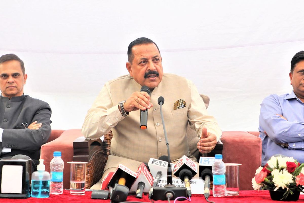
Union Minister of State (Independent Charge) Science & Technology Jitendra Singh on Tuesday said that the “Troika” of Space, Drone and Geospatial policies will propel India as a pre-eminent technological power in a few Years from now.
Addressing a National Conference on “Geospatial Policy for National Development” here, Dr Jitendra Singh said unlocking of the Space sector for private participation in June 2020, issue of Liberalized Guidelines for Geospatial Data in February 2021 and final approval of Geospatial Policy in December 2022, along with Liberalized Drone Rules and Drone Amendment Rules-2022 notified by the Ministry of Civil Aviation, were transformative, game changer decisions which came during the 2nd stint of Prime Minister Narendra Modi after May, 2019.
Dwelling on the Geospatial Policy, he said this technology is going to be an instrument of change in the 21st Century India as, apart from huge revenue generation potential, it will also open huge employment opportunities.
Advertisement
As per one industry estimate, he said the Indian Geospatial economy in 2021 employed approximately five Lakh people across the country, spread across the domestic market including user industries, government services and export services. This number is expected to rise over 10 lakh by 2025, he said.
Dr Jitendra Singh, who is also Minister of State (Independent Charge) Earth Sciences; MoS Prime Minister’s Office, Atomic Energy and Space, said that in line with the vision of Prime Minister Narendra Modi, India is on the cusp of Geospatial Revolution and a healthy synergy among Government, Industry and Scientific Community will tremendously boost up economic output and would help India becoming a 10 trillion Dollar Economy by 2030.
He said that Geospatial information has an important role to play in sectors like agriculture, environment protection, power, water, transportation, communication and health etc.
Singh said the role of private sector will be very crucial in strengthening the Geospatial infrastructure of the nation and that actual collection and collation of data and development of data themes have to be increasingly done with private sector participation, consistent with Geospatial Guidelines.
The minister emphasised that the needs and requirements of citizens related to various Geospatial/location-based solutions have to be predominantly serviced by the private sector with Survey of India and nodal ministries & agencies of various Geospatial Data Themes in a facilitative role.
The Private Sector has to play a key role in creation and maintenance of Geospatial and mapping Infrastructures, innovations and process improvements and monetization of Geospatial data, the Minister added.
Secretary, Ministry of Science and Technology Dr Chandrasekhar said that the Survey of India will provide the baseline for collection and collation of Data by the private sector for strengthening the Geospatial Infrastructure. He hoped that in coming years more and more Start-Ups will mushroom in this sector, thus opening floodgates of job opportunities. In the next 10 years this sector will be a boomer, he said.
Space Secretary Dr S Somanath said that with New Generation taking over, Geospatial will be an important arm for converting India into Digital India in various sectors. Referring to the Brainstorming Session convened by Prime Minister in 2015 with ISRO and Line Ministries in Vigyan Bhawan, he said the meeting was a turning point and today every Ministry/Department of the Central Government has at least one Space Project.
Dr Somanath said, after Space and Drone policies, Geospatial will help in Grand Realization of Transforming India into a Digital Economy.
Chairman of Geospatial Data Promotion and Development Committee (GDPDC) R S Sharma said Geospatial Policy enables both the Government and Private sector to work in harmony to help India emerge as a true World Power. He said any technology including Geospatial must be Inclusive, Open, Cost effective and bring Ease of Living for common man.
Joint Secretary in Ministry of Science and Technology Sunil Kumar said that Geospatial technology has applications in almost every domain of the economy ranging from agriculture to industries, development of urban or rural infrastructure, administration of land, economic activities of banking and finance, resources, mining, water, disaster management, social planning, delivery services, etc.
He said Geospatial data is now widely accepted as a critical national infrastructure and information resource with proven societal, economic, and environmental value that enables government systems and services, and sustainable national development initiatives, to be integrated using location as a common reference frame.
Important applications of Geospatial Policy includes Digital India Land Resources Modernization Program (DILRMP) of the Ministry of Rural Development and India’s leading programme ‘Namami Gange’ which uses geospatial technologies for river basin management and regulating the proposed protected and regulatory zones along the banks of the river.
Advertisement