Fragmented climate responses won’t work
For much of the past three decades, climate change occupied a distinct corner of public policy.
Variations in the Earths gravity can reveal how the planets bulk is shifting

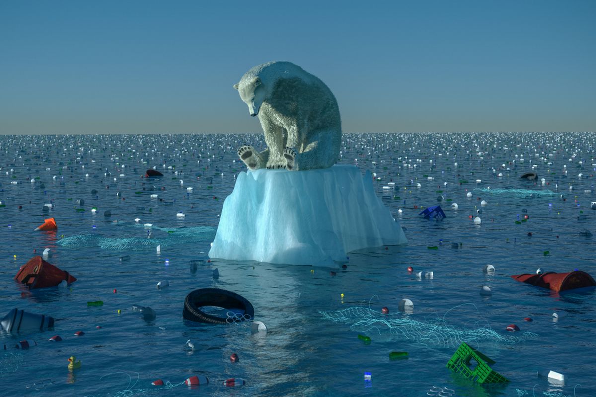
Representational image. (Photo: Getty Images)
The material of the Earth, including the water in the oceans, and the atmosphere, has been in movement and flux all through its history. These movements affect the Earth’s climate, and changes in the climate, in turn, affect the movements.
Keeping track or accounting for the changes can be challenging. One way, however, is to scan and record undulations in gravitational forces, which are affected by large masses on and within the Earth. Byron D Tapley, Michael M Watkins, Frank Flechtner, Christoph Reigber, Srinivas Bettadpur, Matthew Rodell, Ingo Sasgen, James S Famiglietti, Felix W Landerer, Don P Chambers, John T Reager, Alex S Gardner, Himanshu Save, Erik R Ivins, Sean C Swenson, Carmen Boening, Christoph Dahle, David N Wiese, Henryk Dobslaw, Mark E Tamisiea and Isabella Velicogna, from University of Texas, Caltech, Nasa Goddard Space Flight Center, University of Saskatchewan, University of South Florida, National Center for Atmospheric Research, Boulder, the German Research for Geosciences, Potsdam, Alfred Wegener Institute, Bremerhaven, and Technical University, Berlin, describe in the journal, Nature Climate Change, the measurements of the Earth’s gravitational field made by the sensors of the Gravity Recovery And Climate Experiment in near orbit around the Earth.
Advertisement
There have been several assessments of the pattern of the Earth’s gravity, in the vicinity of mountains, underground features, et al by different methods, generally of measuring the force of gravity itself. The Grace arrangement does it differently — it uses a pair of satellites that measure not the force of gravity, but the effect that changes in gravity have on the distance between them. While the distance between the satellites should normally remain unchanged, slight variations in the Earth’s gravity could momentarily slow down or speed up one or the other satellite.
Advertisement
The distance between the two satellites is monitored by radio signals of frequency some 20 billion cycles a second. This arrangement is able to make out changes of the order of a micron in the distance of 220 km that separates the satellites, and the result is an exceedingly sensitive measurement of the force of gravity. The two satellites orbit the earth 500 km above its surface and in a plane almost along the poles. The plane of orbit slowly rotates, so that the satellites overfly all parts of the Earth every month.
During the last half century, when global warming has become the critical concern, there is great interest in sensitive monitoring of the sea level. While records of the high tide mark can give us a general picture, there is more confidence in measurements made by radar beams from satellites.
The results, however, are not good enough because of the moving nature of the surface of the sea. A more sensitive measure that was adopted is to measure variations in the speed of the Earth’s rotation. This speed of rotation, like that of any spinning object, is affected when its parts are spread out or drawn in.
On the one hand, the Earth’s speed of rotation is known to be slowing, at just 1.8 milliseconds a day, every century, as a result of the energy lost due to the tides. Apart from this are the changes due to redistribution of mass. As the movement due to rotation is fastest at the equator, the Earth shows a bulge around its middle, and this would have slowed the spin. Shifting of masses on and within the Earth also affects the rate of spin. During cool periods, like the ice ages, sea water was collected as ice at the poles and sea levels fell. While this would have led to speeding up of the rotation, the extra load of ice at the poles caused more bulging at the equator.
In the current period of warming, the melting of polar ice and the expansion of sea water cause rising of sea levels, slightly mitigated by relieving of load at the poles. It is worked out that every 1mm increase in the diameter would slow the Earth down by half a second per year every century. The actual sea level rise during 1900-1990 was 1.8 mm every year, or 18 cm over the century. As it is now possible to time the length of the day with great accuracy, this timing has become an important and sensitive means of monitoring changes in the sea level.
Detailed observation While the sea level is one indicator of the progress of global warming, it has now become important to understand the mechanics of warming in much greater detail. As the paper in Nature Climate Change says, “Global observations of water and ice mass redistribution in the Earth system at monthly to decadal time scales are critical for understanding the climate system and investigating its changes.”
Together with other observations, it is this level of detail, the paper says, that can “provide information on the Earth’s energy storage, ocean heat content, land surface water-storage, and ice-sheet response to global warming. Interactions between the different climate system components involve mass variations in continental surface and sub-surface water storage (rivers, lakes, ground water, snow cover, polar ice sheets and mountain glaciers), as well as the mass redistribution within and between ocean and atmosphere. These mass movements are inherent to the evolution of droughts, floods, large-scale ocean currents, ice-sheet and glacier changes, and sea-level rise.”
The Grace programme, with its continuous, fine-grained and long-term data of the presence and changes in the land, water or ice masses, adds a crucial component to the remaining information, to understand the interactions and transitions that influence the evolution of climate. Each month, when the Grace satellites complete a scan of the Earth, “collected measurements allow an estimate of a global spherical harmonic model of the Earth’s gravity field, which is then used to estimate mass change on the Earth’s surface,” the paper says.
An important component of the data that climate scientists need is the mass of ice covering the poles. Conventional methods, like radar altimetry, only yield the surface height, without regard to compaction or composition. The net mass change is thus an indirect assessment. With Grace, on the other hand, we obtain a direct mass assessment, and a reading every month for every part of the planet.
Another unique item of data that we get from Grace is about hidden masses, particularly, groundwater or subterranean water bodies. Grace has been able to estimate the Earth’s changing fresh water resources, with implications for human access to water and food and security, the paper says. And then, Grace has been able to detect groundwater depletion in major aquifer systems, confirming excessive rates of depletion the world over, attributable to natural variations, changes caused by human activity or water management practices, the paper says.
(The writer can be contacted at response@simplescience.in)
Advertisement