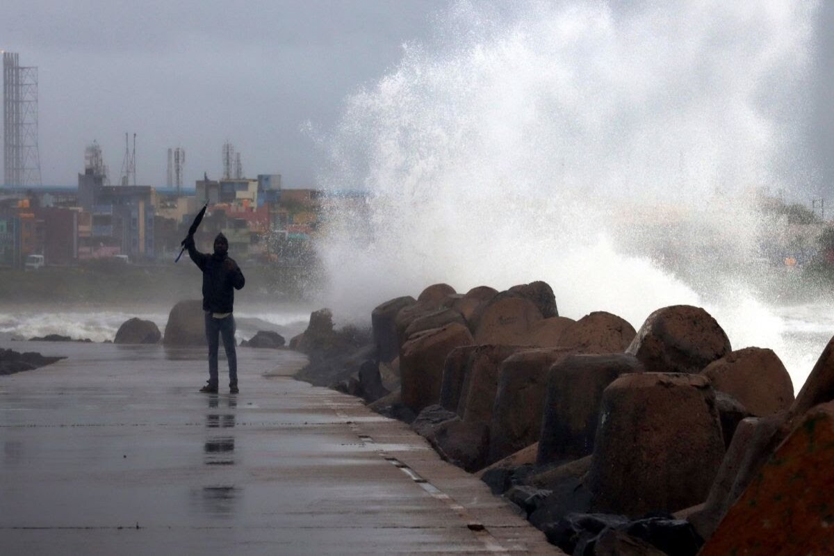
The depression which lies between Central and East Bay of Bengal has intensified into a deep depression and by Saturday evening formed a cyclone, according to the Meteorological department, which predicted landfall of between 11 p.m and 1 a.m on 26 May night between Sagar Island and Khepupara of Bangladesh.
The Met department said the wind speed of Cyclone Remalduring its landfall will likely to be around 100-120 kmph and with a gusting speed of around 135 kmph. Heavy to very heavy rainfall has been forecast in South and North 24-Parganas on Sunday accompanied with thunderstorms, whose wind speed has been predicted at around 100 kmph. The two 24-Parganas districts apart, East Midnapore, Howrah, Hooghly, Nadia, East Burdwan and West Midnapore too are likely to bear the brunt with heavy to very heavy rainfall predicted for tomorrow and Monday. On Monday, heavy rains are likely in Howrah, Hooghly.
Advertisement
Kolkata, Murshidabad , Malda and South Dinajpur while light and moderate rainfall has been predicted in West Midnapore, Burdwan, Birbhum, Jalpaiguri and North Dinajpur. The situation is expected to be at its worst between 6 p.m. on Sunday and 6 a.m. on Monday. On Saturday morning, the formation was around 420 km south of Khepupara in Bangladesh and at an equal distance from the Sagar Islands in a South-South East direction and was moving northwards. With landfall expected between Sagar Island and Khepupara of Bangladesh, the closer the landfall is to Sagar, the more Bengal and Kolkata will be affected.
The Indian Meteorological Department (IMD) in the evening issued a red warning for heavy and very heavy rain for Kolkata. A red warning is already in place for both North and South 24-Parganas for Sunday and Monday,. The Bengal administration as well as Central and state agencies associated with disaster management are gearing up to tackle the natural calamity. While a control room has been set up at the Kolkata Police headquarters in Lalbazar for the state agencies, teams of the National Disaster Response Force (NDRF) are heading for the districts that are likely to be affected by the cyclonic storm.
The Indian Coast Guard (ICG) is also issuing alerts to mariners besides coordinating with its Bangladeshi counterparts. The NDRF, meanwhile, has deployed 12 teams with equipment in seven districts. While one team will be deployed in Kolkata, there will be two each in the districts of North 24-Parganas, East Midnapore, and West Midnapore. Three teams have been deployed in South 24-Parganas, which is expected to be hit the hardest. The remaining teams will be stationed at Howrah and Hooghly.
Senior officials of the National Crisis Management Committee held a meeting with Bengal chief secretary BP Gopalika on Friday to assess the preparations of the state administration to meet the calamity. In South 24-Parganas, District Magistrate Sumit Gupta held an emergency meeting with BDOs to discuss advance preparations for the cyclone. Mr Gupta stated: “Control rooms have been opened in the district and blocks. Additionally, residents will be relocated from Ghoramara and other places to safe locations by Saturday evening. There is a risk of tidal waves in coastal areas on Sunday.”
