Extraction of minerals from the Indian offshore: Opportunities and challenges
The mineral economy of India is at a crucial moment of structural transition.
Nepal’s Cabinet had on Tuesday endorsed a new political map showing Lipulekh, Kalapani and Limpiyadhura under its territory, amidst a border dispute with India.

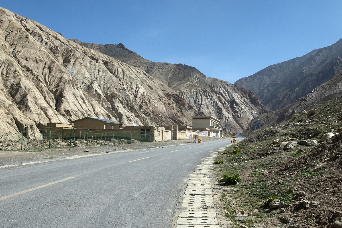
Road in Tibet going towards Mount Kailas and Mansarovar. (Photo: iStock)
India on Wednesday hit back at the Nepal government over incorporating some its territory along the border in its revised official map, saying such “unilateral moves and territorial claims are completely unacceptable.”
Nepal’s Cabinet had on Tuesday endorsed a new political map showing Lipulekh, Kalapani and Limpiyadhura under its territory, amidst a border dispute with India.
Advertisement
In response to media queries on the revised map, the Ministry of External Affairs official spokesperson Anurag Srivastava said that it is a “unilateral act” and “not based on historical facts and evidence.”
Advertisement
The move, he said, is “contrary to the bilateral understanding to resolve the outstanding boundary issues through diplomatic dialogue. Such artificial enlargement of territorial claims will not be accepted by India.” Nepal, he said, is well aware of India’s consistent position on this matter.
The government also urged Nepal to “refrain from such unjustified cartographic assertion and respect India’s sovereignty and territorial integrity.”
Srivastava said that India hoped that the Nepalese leadership will create a positive atmosphere for diplomatic dialogue to resolve the outstanding boundary issues.
The tension between the two nations have escalated after Defence Minister Rajnath Singh on May 8 inaugurated an 80 km long new road connecting the Lipulekh pass in Uttarakhand with Kailash Mansarovar route in Tibet, China, to help pilgrims visiting Kailash-Mansarovar as it is around 90 kms from the Lipulekh pass. Nepal protested against it and also threatened to put up a security post in the disputed territory.
Meanwhile, the new political map announced by Nepal Foreign Minister Pradeep Kumar Gyawali came weeks after he said that efforts were on to resolve the border issue with India through diplomatic initiatives.
The Lipulekh pass is a far western point near Kalapani, a disputed border area between Nepal and India. Both India and Nepal claim Kalapani as an integral part of their territory – India as part of Uttarakhand’s Pithoragarh district and Nepal as part of Dharchula district.
Gyawali last week summoned the Indian Ambassador Vinay Mohan Kwatra and handed over a diplomatic note to him to protest against the construction of a key road connecting the Lipulekh pass with Dharchula in Uttarakhand.
India has said that the recently-inaugurated road section in Pithoragarh district in Uttarakhand lies completely within its territory.
The new map was drawn on the basis of the Sugauli Treaty of 1816 signed between Nepal and then the British India government and other relevant documents, which suggests Limpiyadhura, from where the Kali river originated, is Nepal’s border with India, The Kathmandu Post quoted an official at the Ministry of Land Reform and Management as saying.
President Bidhya Bhandari, addressing Parliament last week, reiterated that Limpiyadhura, Kalapani and Lipulekh belong to Nepal and appropriate diplomatic measures will be adopted to resolve the existing issues with India.
Amid heightened tension, Nepal Prime Minister KP Oli in a speech in parliament this week reiterated Nepal’s claim to Limpiyadhura, Lipulekh, and Kalapanias after the government showed the ‘disputed’ territories in a newly issued political map.
He said that diplomatic efforts will be made to “bring back” the territories.
“As Prime Minister of the incumbent government, I want to appraise the honourable house that the issue of Limpiyadhura, Lipulekh, and Kalapani won’t be covered up, a conclusion will be drawn regarding it. We won’t let this issue fade out and it will be sorted out through diplomatic talks making concrete efforts and the territories will be reclaimed,” he said.
In a shocking statement, he further blamed India for the spread of Coronavirus cases in his country, saying “Indian virus looks more lethal than Chinese and Italian now”.
“Those who are coming from India through illegal channels are spreading the virus in the country and some local representatives and party leaders are responsible for bringing in people from India without proper testing,” the Nepal PM was quoted as saying by NDTV.
“It has become very difficult to contain COVID-19 due to the flow of people from outside. Indian virus looks more lethal than Chinese and Italian now. More are getting infected,” he further said.
Nepal’s diplomatic offensives against India over issues ranging from border disputes to the Coronavirus pandemic indicate that Kathmandu-New Delhi relations are on a downward spiral.
India had in November, last year, released a political map showing Kalapani within Indian borders. The map was released after the creation of the new Union Territories of Jammu and Kashmir and Ladakh.
The Indian map places the Kalapani area under the Pithoragarh district in Uttarakhand whereas Kathmandu considers the unresolved area to be part of Nepal’s Darchula district.
Following Nepal’s objection, India had said that the country’s map “accurately depicts the sovereign territory of India”.
Then Ministry of External Affairs spokesperson Raveesh Kumar had stated that the “new map has in no manner revised India’s boundary with Nepal”.
Advertisement