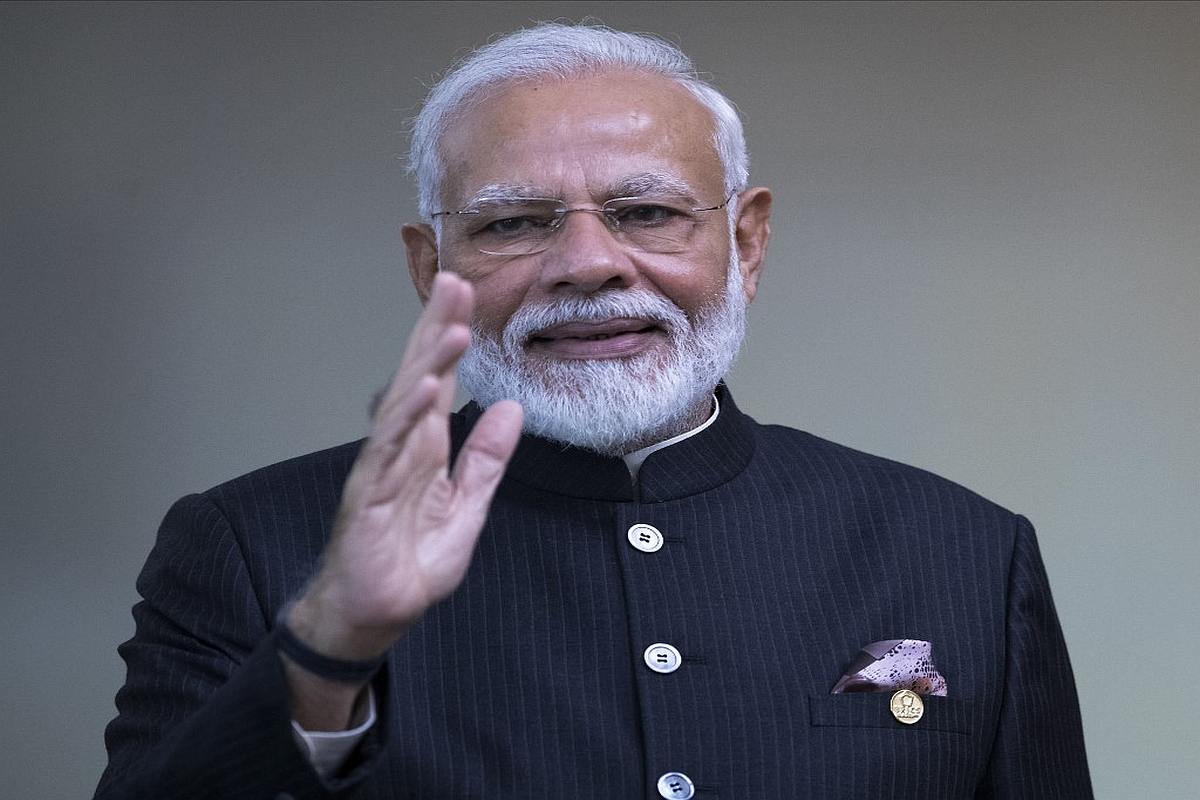
As India successfully injected Cartosat-3 spacecraft and 13 foreign nanosatellites into their designated orbits, Prime Minister Narendra Modi on Wednesday congratulated the Indian Space Research Organisation (ISRO) for the feat.
“I congratulate the ISRO team on yet another successful launch of PSLV-C47 carrying indigenous Cartosat-3 satellite and over a dozen nanosatellites of USA,” the Prime Minister said in a tweet.
Advertisement
PM Modi further said that the advanced Cartosat-3 will augment India’s high resolution imaging capability and added that the ISRO has once again made the nation proud.
Lok Sabha Speaker Om Birla also congratulated the ISRO on the successful launch of PSLV-C47 carrying indigenous Cartosat-3 satellite and over a dozen nanosatellites.
India’s Polar Satellite Launch Vehicle-XL (PSLV-XL) rocket carrying advanced earth observation satellite Cartosat-3 and 13 US nano satellites lifted off from the second launch pad of the rocket port in Sriharikota on Wednesday.
With today’s achievement, India has crossed the milestone of launching 300 foreign satellites.
According to ISRO, the Cartosat-3 is an advanced agile satellite to obtain panchromatic and multispectral imagery with an operational life of five years.
The payload has the capability of take sharp pictures with a ground resolution of 0.25 metre in Panchromatic and 1 metre ground resolution or ground sample distance (GSD) in 4 Band Multispectral modes with a swath of 16 km, said ISRO.
The Indian space agency also said, the spacecraft has many new technologies/elements like highly agile structural platform, payload platform, higher rate data handling and transmission systems, advanced onboard computer and new power electronics, dual gimbal antenna and others.
To be placed in an orbit of 509 km at an inclination of 97.5 degrees, the Cartosat-3 will furnish images that cater to the demand of urban planning, rural resource and infrastructure development, coastal land use and land cover and also for strategic/defence purposes.