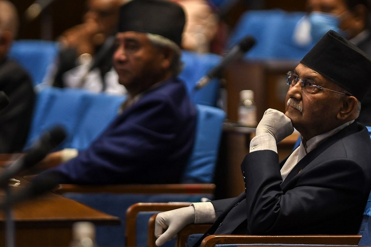
Nepal Parliament’s special session began on Saturday to discuss a key Constitution amendment bill tabled by the government to revise the country’s political map, laying claim over the strategically key areas of Lipulekh, Kalapani and Limpiyadhura along with border with India, despite strong protest by New Delhi.
The House of Representatives opened the discussion on the amendment bill which will be put for voting after the deliberations are over, said a spokesman at the Parliament Rojnath Pandey.
Advertisement
He said the House has been working to put the bill to vote on Saturday.
Endorsement of the bill is certain as the Opposition Nepali Congress and Janata Samajwadi Party-Nepal have vowed to back for the government bill to amend Schedule 3 of the constitution to update the national emblem by incorporating the new map, sources were quoted as saying by PTI.
The bill will be endorsed through a consensus, a senior minister told PTI. Two-thirds majority of the 275-member Lower House is required to pass the bill.
Once the bill is passed by the Lower House, it will be sent to the National Assembly where it will undergo a similar process. The NA will have to give lawmakers 72 hours to move amendments against the bill’s provisions, if any.
After the National Assembly passes the bill, it will be submitted to the President for authentication, after which the bill will be incorporated in the Constitution.
On June 9, Nepal’s House of Representative had unanimously endorsed the Constitution Amendment Bill to adopt a new map of the country which includes Indian areas of Kalapani, Lipulekh and Limpiyadhura.
The proposal was backed by Nepal Communist Party headed by Prime Minister K.P. Oli, the opposition Nepali Congress and Madhesi -based parties.
Nepal’s Parliamentary Affairs Minister Shivamaya Tumbahangphe had on May 30 tabled the bill for discussions in the Parliament to update the country’s map and amend the Constitution.
On May 28, India had said that it was open to engage with Nepal on the basis of mutual respect and in an environment of trust to resolve the boundary issue. This came after Nepal, in a surprise move, issued a new political map which included Limpiyadhura, Lipulekh and Kalapani, areas which have been part of the Indian territory.
It cited the Treaty of Sugauli in which the East India Company had demarcated the border between India and Nepal. According to the treaty, the eastern side of the river Kali is Nepal’s territory while the western is India’s.
But the controversy revolves around the interpretation of the treaty. Nepal takes Limpiyadhura as the origin of river Kali and claims Limpiyadhura, Lipulekh and Kalapani as its region.
Whereas, India says that the origin of river Kali is Kalapani (Kali name coming from Kalapani).
On May 20, India had slammed the Nepal government over incorporating some its territory along the border in its revised official map, saying such “unilateral moves and territorial claims are completely unacceptable.”
The remarks came a day after Nepal’s Cabinet endorsed a new political map showing Lipulekh, Kalapani and Limpiyadhura under its territory.
The move, the Ministry of External Affairs official spokesperson Anurag Srivastava said, is “contrary to the bilateral understanding to resolve the outstanding boundary issues through diplomatic dialogue. Such artificial enlargement of territorial claims will not be accepted by India.” Nepal, he said, is well aware of India’s consistent position on this matter.
The government also urged Nepal to “refrain from such unjustified cartographic assertion and respect India’s sovereignty and territorial integrity.”
The tension between the two nations have escalated after Defence Minister Rajnath Singh on May 8 inaugurated an 80 km long new road connecting the Lipulekh pass in Uttarakhand with Kailash Mansarovar route in Tibet, China, to help pilgrims visiting Kailash-Mansarovar as it is around 90 kms from the Lipulekh pass. Nepal protested against it and also threatened to put up a security post in the disputed territory.
Meanwhile, the new political map announced by Nepal Foreign Minister Pradeep Kumar Gyawali came weeks after he said that efforts were on to resolve the border issue with India through diplomatic initiatives.
The Lipulekh pass is a far western point near Kalapani, a disputed border area between Nepal and India. Both India and Nepal claim Kalapani as an integral part of their territory – India as part of Uttarakhand’s Pithoragarh district and Nepal as part of Dharchula district.
Amid heightened tension, Nepal Prime Minister KP Oli in a speech in parliament last month had reiterated Nepal’s claim.
He said that diplomatic efforts will be made to “bring back” the territories.
“As Prime Minister of the incumbent government, I want to appraise the honourable house that the issue of Limpiyadhura, Lipulekh, and Kalapani won’t be covered up, a conclusion will be drawn regarding it. We won’t let this issue fade out and it will be sorted out through diplomatic talks making concrete efforts and the territories will be reclaimed,” he said.
India had in November, last year, released a political map showing Kalapani within Indian borders. The map was released after the creation of the new Union Territories of Jammu and Kashmir and Ladakh.
The Indian map places the Kalapani area under the Pithoragarh district in Uttarakhand whereas Kathmandu considers the unresolved area to be part of Nepal’s Darchula district.
Following Nepal’s objection, India had said that the country’s map “accurately depicts the sovereign territory of India”.