Extraction of minerals from the Indian offshore: Opportunities and challenges
The mineral economy of India is at a crucial moment of structural transition.
The lower house of the parliament had passed the bill on June 13, 2020.

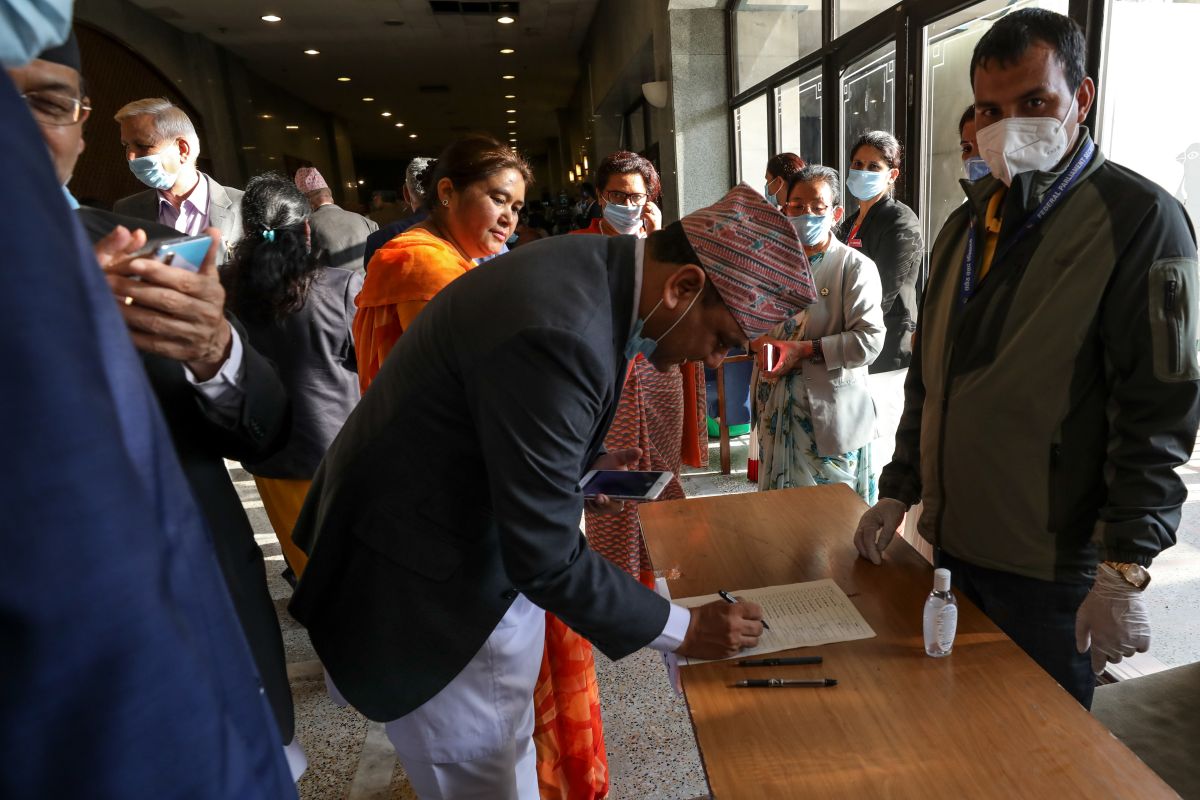
Nepal's House of Representatives members sign as they vote on an amendment to update the national emblem with a new controversial political map in Kathmandu on June 13, 2020. (Photo by Bikash KARKI / POOL / AFP) / To go with 'NEPAL-INDIA-DIPLOMACY'
Nepal’s National Assembly on Thursday unanimously passed the Constitution Amendment Bill to update the country’s political and administrative map incorporating three Indian territories. The lower house of the parliament had passed the bill on June 13, 2020.
India has termed as untenable the “artificial enlargement” of territorial claims by Nepal after its lower house of parliament on Saturday unanimously approved the new political map of the country featuring areas which India maintains belong to it.
Advertisement
The National Assembly, or the upper house of the Nepalese parliament, unanimously passed the constitution amendment bill providing for inclusion of the country’s new political map in its national emblem.
Advertisement
The bill was passed with all the 57 members present voting in its favour. Nepal, in its new map, claims India’s Lipulekh, Kalapani and Limpiyadhura as its territories.
Last week, the lower house with a total strength of 275 members, the 258 members were present and voting and all the votes went in favour of the Bill, which has sparked tension with its friendly neighbour India.
Prime Minister KP Sharma Oli’s party had cleared the map last month which ignited fierce criticism from India which termed it as a unilateral move on a ‘sensitive issue’.
The fresh controversy erupted after Nepal, in a surprise move, issued a new political map which included Limpiyadhura, Lipulekh and Kalapani, areas which have been part of the Indian territory.
It cited the Treaty of Sugauli in which the East India Company had demarcated the border between India and Nepal. According to the treaty, the eastern side of the river Kali is Nepal’s territory while the western is India’s.
But the controversy revolves around the interpretation of the treaty. Nepal takes Limpiyadhura as the origin of river Kali and claims Limpiyadhura, Lipulekh and Kalapani as its region.
Whereas, India says that the origin of river Kali is Kalapani (Kali name coming from Kalapani).
An interesting point to be noted here is that Nepal’s claim came soon after the Border Road Organisation (BRO) constructed a road till Lipulekh pass, cutting down the travel time to Kailash Mansarovar by one week.
This region is very significant for India from security point of view as well, because it is bordering China with which India does not share a peaceful history.
Advertisement