As tensions rise in West Asia and key energy routes face disruption, the Indian Navy has stepped in with a carefully planned operation to ensure that oil shipments continue to reach India without interruption.
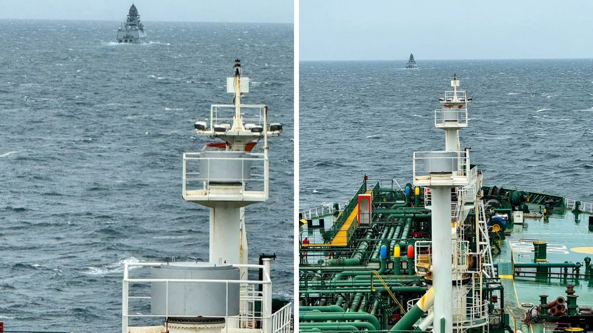
In the strategically sensitive Strait of Hormuz, Indian-flagged vessels are being guided through risky waters under a mission called Operation Urja Suraksha, with naval forces providing both direction and protection at every stage.
Advertisement
The move comes at a time when Iran’s restrictions have begun to impact the global energy movement. India, however, has managed to keep its supply lines open after securing permission from Tehran for its ships to pass through the Strait, which is a critical chokepoint for global oil trade.
Unlike standard escort missions, the Navy’s role here is more hands-on, as per news agency IANS. Officials said naval teams remain in continuous communication with ships preparing to exit the Persian Gulf, offering route-specific instructions to help them navigate safely through the narrow passage.
More than five warships have been deployed in the region as part of the operation. Once vessels move past the Strait, destroyers and frigates accompany them further along their journey, creating a layered security cover.
Support for this effort extends into the Gulf of Oman, where additional warships and logistics are in place to ensure that operations run without breaks.
Why navigation is risky in the Strait of Hormuz
For tanker crews, this route is anything but routine. Navigation in such waters depends heavily on hydrographic charts.
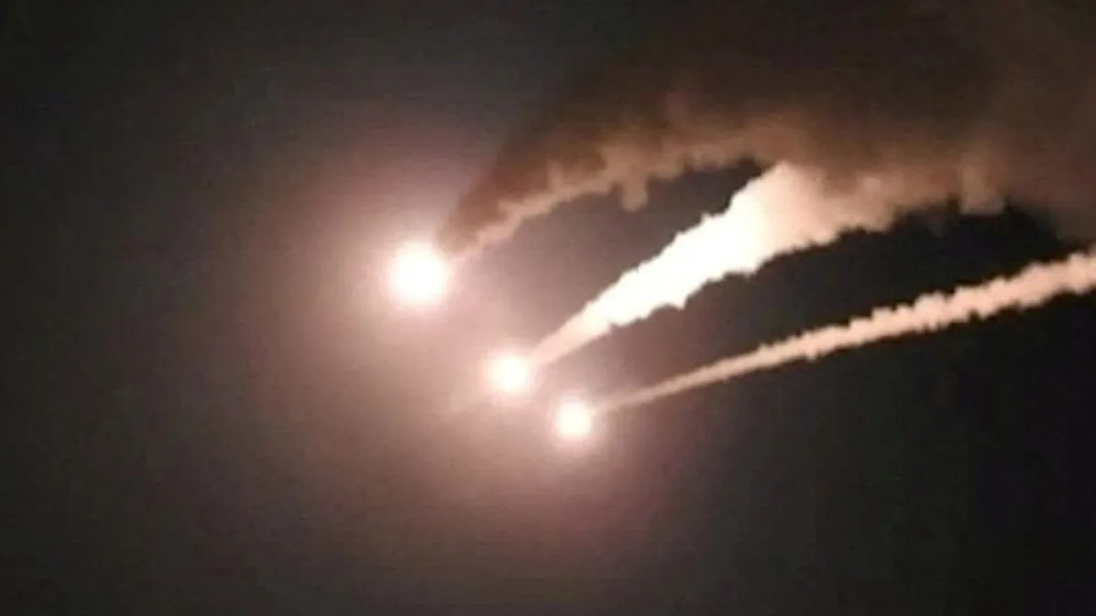
The risks are real. Media reports citing US intelligence have claimed that Iran has placed underwater mines in parts of the Strait. All of this means every journey through the Strait carries real risk.
That’s where the Indian Navy steps in. It’s not just about sailing alongside these ships. The Navy is, in a way, walking them through the route, pointing out where to go, what to avoid, especially in waters where the real risks lie hidden below.
Much of this relies on hydrographic charts. These are detailed maps of the seabed, created by specialised survey vessels, showing how the ocean floor shifts over time and where it’s safest to pass.
And this expertise isn’t limited to Indian waters. India has been extending this work beyond its own shores, too. It has helped several friendly countries map their waters too, making sea routes safer across the wider Indian Ocean Region. These charts are widely trusted and used by navies as well as commercial shipping operators around the world.
Amid rising tensions and uncertainty, this combination of precision, coordination, and naval presence is helping ensure that critical shipments continue to move, steadily and safely, through one of the world’s most vital sea lanes.