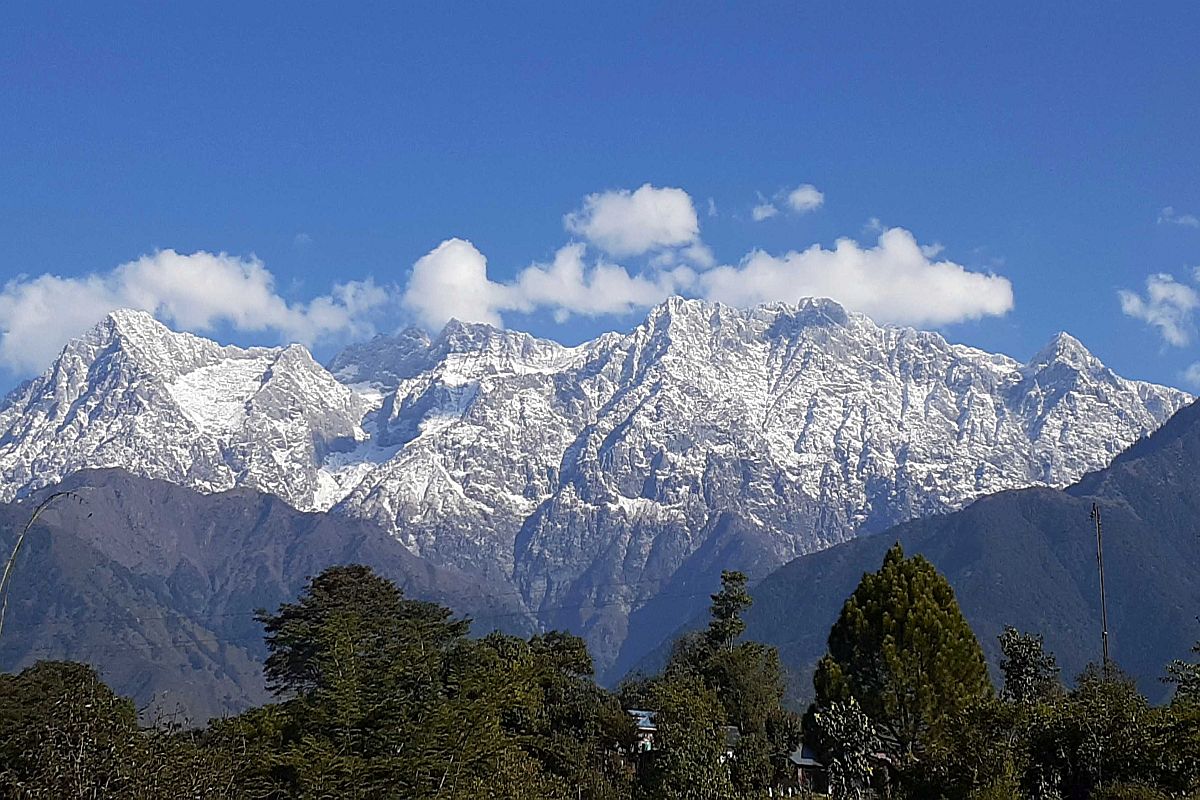
The Himachal Pradesh government is collaborating with Indian Space Research Organisation’s (ISRO) Space Applications Centre, Ahmedabad to conduct Cryospheric studies on snow and glaciers in the state.
The Cryospheric studies are being conducted as the one-third part of the state remain under a thick blanket of snow in winters and the studies of which using any other conventional method is not possible due to inaccessibility of this area.
Advertisement
Most of the major rivers like Chenab, Beas, Parvati, Baspa, Spiti, Ravi, Satluj and its perennial tributaries originating from the Himalayas depend upon the seasonal snow to cover for their discharge dependability.
Himachal Pradesh Council for Science Technology and Environment member secretary D C Rana said considering the importance of seasonal snow cover as a major input in controlling the hydrology of the river basins, the satellite data helps us to map the geographical extent of the area covered under snow in the winter season.
“The studies which are being carried out for mapping of seasonal snow cover in terms of its spatial distribution covers the different river basins in Himachal during the winter season from October to May.
This is an important input in order to understand the contribution of snow in different catchments to sustain the hydrology of the river basins,” he added.
He said considering the present trend of winter snowfall in Himachal Pradesh, the winter precipitation was mapped in all the basins as Chandra, Bhaga, Miyar, Beas, Parvati, Jiwa, Pin, Spiti and Baspa using AWIFS satellite data having spatial resolution of 56 mts from October to May.
During 2019-20, snowfall was estimated and analyzed with reference to the average value of the total area under snow in each month from October to May in 2018-19.
“The analysis of snow cover mapping in Himachal Pradesh during 2019-20 (October to May) has pointed out towards a marginal decrease of around 0.72 percent in the area under snow.
The total area under snow during 2018-19 i.e. total average area under snow in 2018-19 was 20210.23 sq km and it has reduced to 20064.00 sq km in 2019-20.
Further during peak winter months, the snow cover area has reduced gradually from February onwards which may affect the runoff patterns during the summer months,” he said.
Rana said based on the data analyzed, more snow cover has been observed in Satluj basin during winter months (November to January) than the Beas and Ravi basins, whereas Chenab basin has not shown much change in the area under snow during this period.
The analysis of summer months in Chenab basin (65 percent of the total basin area) and Satluj basin (50 percent of the total basin area) will contribute as snow melt in the river system after May onwards in comparison to Beas basin (45 percent) and the Ravi basin (26 percent) of the total basin area in 2020, he added.