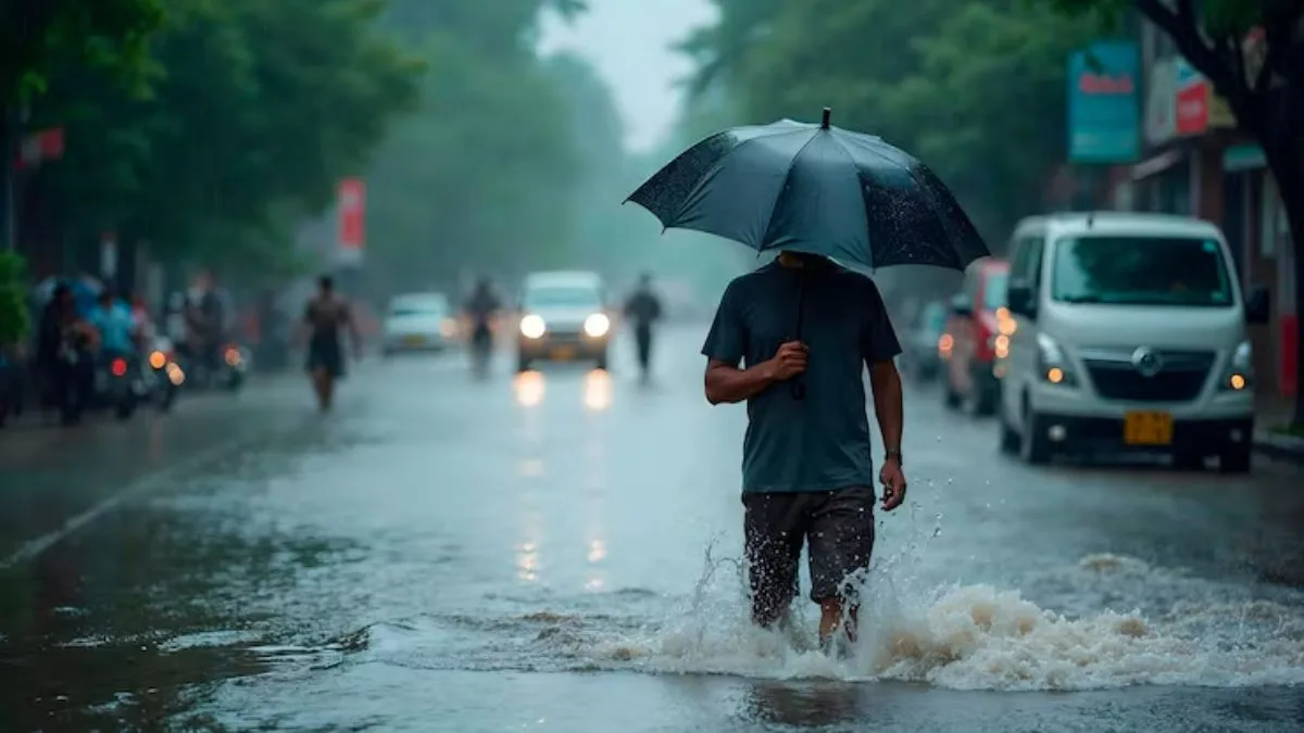
Gujarat Rains: Ahmedabad finally caught a break from the heat. Rain accompanied by thunder and lightning lashed several parts of the city late Saturday night into early Sunday, bringing welcome relief from the humidity that had gripped the region.
Both eastern and western parts of Ahmedabad recorded rainfall during this spell, and the city saw a noticeable drop in temperature as a result.
Advertisement
According to the India Meteorological Department, monsoon activity remains active across Gujarat. Thunderstorms and rainfall are expected to continue in Ahmedabad and several other districts in the coming days.
What the IMD forecast for Saturday
On Saturday, the IMD had predicted moderate rainfall between 5 and 15 mm per hour. This came along with moderate thunderstorms and gusty winds reaching speeds of 41 to 61 kmph in isolated pockets.
The districts expected to see this activity included Porbandar, Junagadh, Gir Somnath, Diu, Bhavnagar, Mahisagar, Dahod, Panchmahal, Chhota Udepur, Bharuch, Narmada, Surat, and Tapi.
The weather department also flagged a moderate probability, between 30 and 60 percent, of cloud to ground lightning across these districts.
Western India faces a harder hit
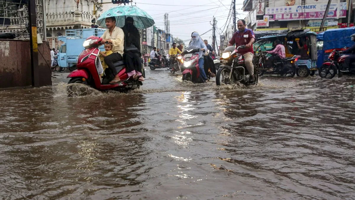
While Ahmedabad experienced relief, other parts of western India have not been as fortunate. A relentless spell of monsoon rainfall has severely disrupted daily life, triggering intense waterlogging, stranding commuters, and leading to fatalities in parts of both Maharashtra and Gujarat.
In Gujarat’s Jamnagar district, the Dhrol area faced the worst of the flooding. Incessant downpours submerged multiple arterial roads, catching residents and commuters off guard.
The sudden flooding left numerous vehicles stranded, including school buses full of children caught on waterlogged streets. Many residents were forced to wade through waist deep water just to get around.
Himachal Pradesh braces for more rain
Attention is also turning toward Himachal Pradesh, where the monsoon is expected to intensify in the coming days. The Meteorological Centre in Shimla has forecast increased monsoon activity across the state starting July 5.
Authorities have issued both orange and yellow alerts for heavy rainfall across various regions of the state, with these warnings remaining in effect until July 12.
Flood-like conditions already reported
Rainfall over the last 24 hours has already created flood-like conditions in parts of Himachal Pradesh.
Traffic on national highways was briefly interrupted in multiple locations due to debris buildup. Authorities managed to clear the debris and restore traffic movement shortly after.
In Kalpa, located in the tribal district of Kinnaur, temperatures showed a notable range. The minimum temperature was recorded at 14.2 degrees Celsius, while the maximum touched 24.4 degrees Celsius.