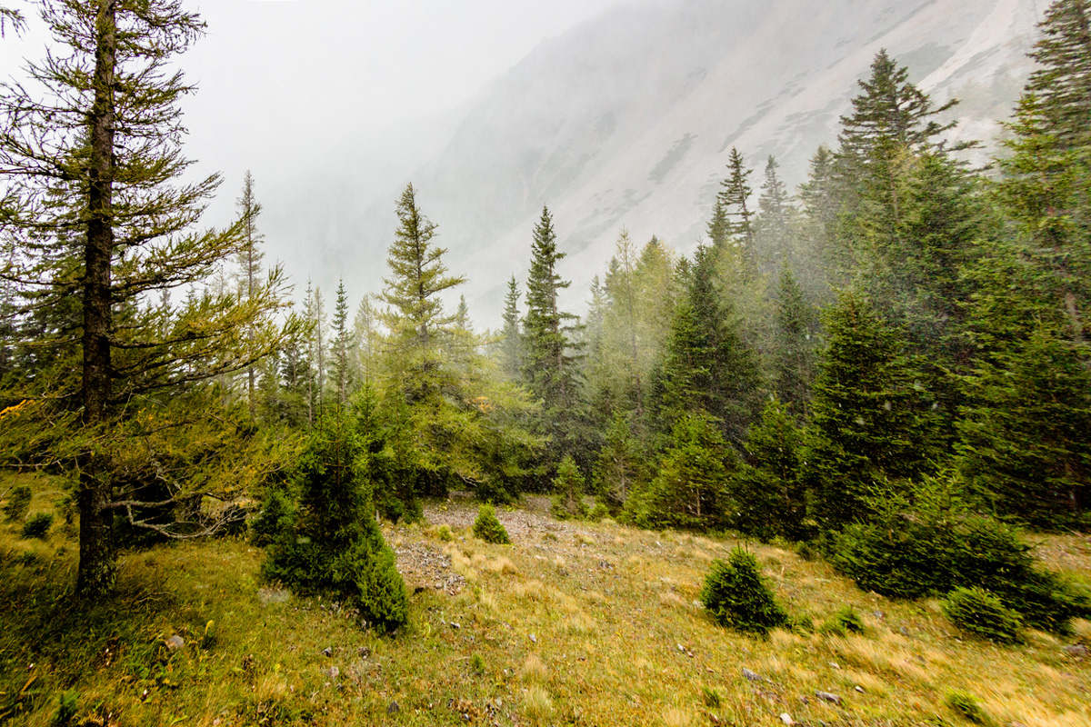
Contrary to the national reports of decrease in the forest cover of tribal lands and north eastern states mainly due to rapid urbanisation in the country, the state of West Bengal has registered an increase in green cover in both tribal and hilly districts. Incidentally, in the India State of Forest Report (ISFR) – 2019 prepared by Forest Survey of India, a biennial report on India’s forest cover shows that the recorded forest area (land notified as forest by the government), in tribal districts, which are home to about 60 percent of the country’s green reserve, is fast dwindling.
The last report has been published in 2017. The states which have registered a decrease of forest cover in tribal districts are Andhra Pradesh, Arunachal Pradesh, Gujarat, Maharashtras, Manipur, Mizoram, Nagaland. Odisha, Sikkim, Tripura etc. The report released by Union forest minister Prakash Javadekar on 30 December 2019, says that the only hill district in the state, has registered a three percent rise in green cover with an area of 2,368 square kilometres.
Advertisement
Very Dense Forest 721 sqkm, Medium Dense Forest 654 sqkm, Open Forest 993 square kilometres. Arunachal Pradesh, Assam, Manipur, Meghalaya and Mizoram have registered significant decreases in forest cover in hill districts, as per the report. As per ISFR 2019 report, there has been an increase of 55 square kilometres of very dense forest (VDF) cover in the 12 tribal districts of West Bengal compared to ISFR 2017 report. The total forest cover in 2019 in twelve tribal districts have been 7,002 square kilometres compared to 6,982 square kilometres in 2017.
The VDF has been 2,594 square kilometres in 2019, compared to 2,575 square kilometre in 2017. Though the medium dense forest cover has remained same with 2,327 square kilometres, the open forest area has registered one square kilometre increase with 2,081 square kilometre from 2,080 square kilometre in 2017. Among the big states, Gujarat has the largest area of wetlands within Recorded Forest Area/ Green Wash in the country followed by West Bengal.
While Gujarat has recorded 12,10,675 hectares, West Bengal has recorded 4,38,476 hectares of inland wetlands ( man-made), inland wetlands (natural) and coastal wetlands (natural) in 2019 report. West Bengal has also registered 3,454.33 square kilometres of green area in the 2019 Assessment under the Forest cover under Prime Minister Narendra Modi’s ambitious Namami Gange Programme. It is an Integrated Conservation Mission launched in June 2014 as a Flagship Programme of central government.
FSI has done an analysis of forest cover mapping in a buffer of 5 kilometres on both sides of the main river and in buffer of 2 kilometres on both sides of the tributaries. However, West Bengal which holds the record of India’s highest mangrove cover with 42.45 percent alone, has registered significant decrease of about 2 percent compared to 2017 in the districts of South 24 Parganas (which houses Sundarban mangrove forest ) and North 24 Parganas. East Midnapore district mangrove cover remained same.
Talking to The Statesman, Union minister of state for forests, environment and climate change Babul Supriyo informed that FSI has recently collaborated with the ISRO Institutions for Biomass Mapping of the country. “FSI has recently entered into collaboration with the ISRO institutions-Space Application Centre (SAC), Ahmedabad, National Remote Sensing Centre (NRSC), Hyderabad, North Eastern Space Application Centre (NESAC), Shillong for Bio Mass mapping at the national level using Synthetic Aperture Radar Data.
Under the project, forest biomass mapping of Assam and Odisha states has already been completed,” Babul Supriyo added. At present the total forest cover in the country is still less than one fourth of the geographical area of India. From 24.39 percent in 2017, in the 2019 report is has increased to 24.56 percent which is about 5,188 square kilometres of forest and tree cover combined. However, the target of India’s green cover is about 33 percent of the total geographical area. This is the 16th report of FSI, the first report was published on 1986.