Nautical maps redrawn
A 7.8 magnitude quake that hit New Zealand's South Island last year has made navigation for ships unsafe, Civil Defence…
A 7.8 magnitude quake that hit New Zealand's South Island last year has made navigation for ships unsafe, Civil Defence…

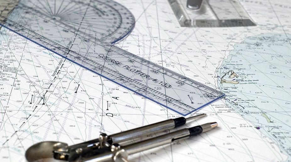
Representational Image (Photo: Getty Images)
A 7.8 magnitude quake that hit New Zealand's South Island last year has made navigation for ships unsafe, Civil Defence Minister Gerry Brownlee said on Tuesday.
The quake, which killed two people in the tourist town of Kaikoura on November 14, had raised the seabed and made nautical maps obsolete, Xinhua news agency quoted Brownlee as saying.
Advertisement
"With actual depths now significantly less than charted depths, nautical charts are no longer accurate and safe navigation in the region has become an issue," said Brownlee.
Advertisement
"The New Zealand Defence Force (NZDF) has sent eight hydrographers to Kaikoura to survey the area's sea floor and map the shifts caused by the earthquake," he said.
The results of the hydrographic survey would be to update the nautical chart of the Kaikoura Peninsula.
Landslips caused by the quake wiped out road and rail links to Kaikoura, stranding hundreds of tourists and leaving the town accessible only by sea and helicopters.
The NZDF mobilised 815 personnel, 11 aircraft and four ships to support the relief and evacuation operations.
Brownlee said the government was aiming to restore full road access by the end of this year.
Ministry of Civil Defence national recovery manager Dave Brash said excavators were on site and work had started on clearing the slips from the road.
Some rail links were open, but more than 700 sites needed work and seismic activity was continuing, Brash said.
"At the same time, diggers have removed more than 5,000 cubic metres of material from the Kaikoura harbour to deepen the channel," he said.
Advertisement