‘Every capital needs a second airport’
Former chairman of the Airports Authority of India (AAI) VP Agrawal did his bachelor’s and master’s in engineering from IIT…
GAGAN is the first Satellite-Based Augmentation System in the world which has been certified for approach with vertical guidance operating in the equatorial ionospheric region.

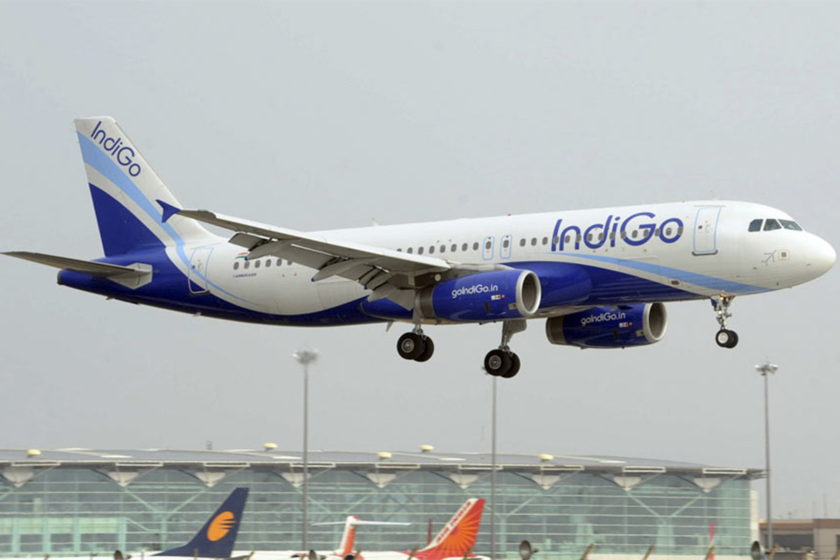
Indigo uses Gagan satellite navigation system for landing(AFP file photo)
GAGAN is used to provide lateral and vertical guidance when an aircraft is approaching a runway for landing. Its precision is especially useful at small airports where the instrument landing system (ILS) has not been installed.
For the first time in the history of the Indian aviation industry, IndiGo became the first airline in the country to land aircraft using the indigenous navigation system GAGAN. India is the first country in Asia Pacific Region to achieve this.
What is GAGAN?
Advertisement
GPS Aided GEO Augmented Navigation (GAGAN) is a step by the Indian Government towards initial Satellite-based Navigation Services in India. It is a system to improve the accuracy of a global navigation satellite system (GNSS) receiver by providing reference signals.
Advertisement
The Airports Authority of India (AAI) and Indian Space Research Organization (ISRO) have collaborated to develop the GPS Aided Geo Augmented Navigation (GAGAN) as a regional Satellite Based Augmentation System (SBAS). The GAGAN’s goal is to provide a navigation system to assist aircraft in accurate landing over the Indian airspace and in the adjoining area and applicable to safety-to-life civil operations. GAGAN is inter-operable with other international SBAS systems.
GAGAN Payload is now operational. The satellites GSAT-8 and GSAT-10 satellites have the GAGAN payloads. The third payload of the system will be launched with GSAT-15 satellite which is scheduled for launch in late of 2015.
The total approximate cost of the project is Rs 7.74 billion ($117 million) and is being created in three phases since 2008.
GAGAN is the first Satellite-Based Augmentation System in the world which has been certified for approach with vertical guidance operating in the equatorial ionospheric region.
GAGAN covers the area from Africa to Australia and has expansion capability for seamless navigation services across the region. GAGAN provides accuracy, availability, and integrity essential for each phase of flight, en route the approach for airports within the GAGAN service volume. This makes airline operations more efficient and effective, increase air safety, and fuel efficiency. Further, with vertical guidance at runways, a significant cost will be saved due to withdrawal of ground aids and reduced workload of airline crew and traffic controllers.
GAGAN has been developed for aviation but it will provide benefits to other sectors as well like transportation, railways, surveying, maritime, highways, telecom industry, and security agencies.
Advertisement