China constructs new villages in Bhutan territory
The images show that four villages were built by China's People's Liberation Army (PLA) in about 100 sq. km. the area between May 2020 and November 2021.
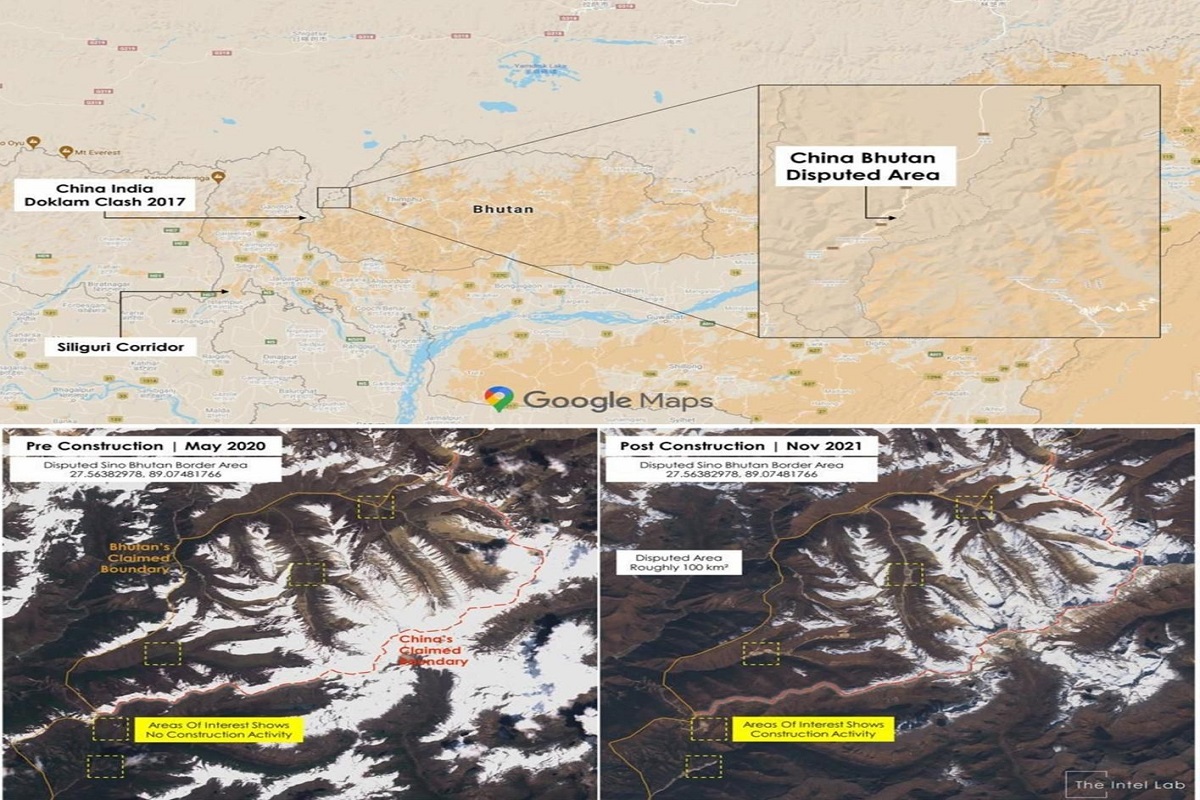
The images show that four villages were built by China's People's Liberation Army (PLA) in about 100 sq. km. the area between May 2020 and November 2021.
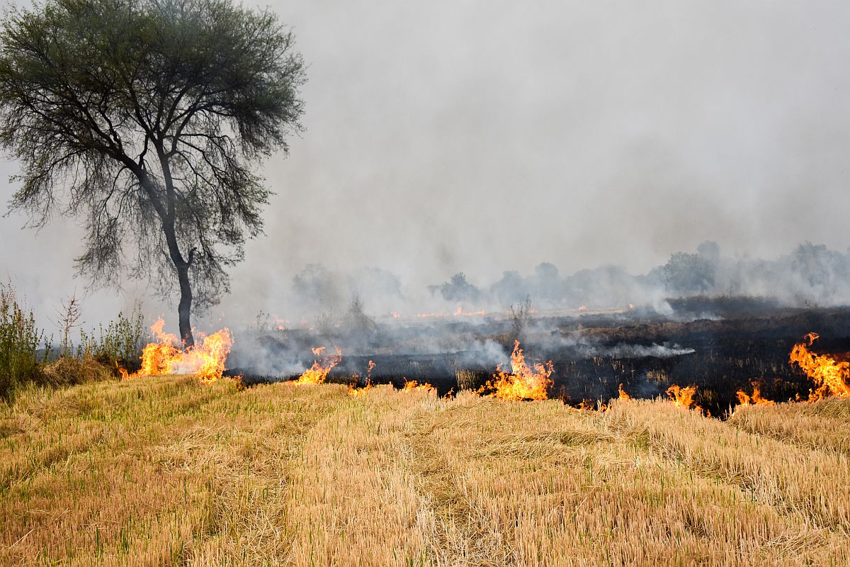
The additional principal secretary to Chief Minister, V Umashankar on Wednesday said a system has been developed to closely monitor and control the incidence of crop residue burning.

Satellite imagery will be used to systematically map brackish and barren tracts of land for development of aquaculture, which is…

New satellite images and videos from Myanmar’s Rakhine state show smoke rising from Rohingya Muslim villages, contradicting State Counsellor Aung…

NASA has released its latest global maps of Earth at night, providing the "clearest yet composite" view of the patterns…