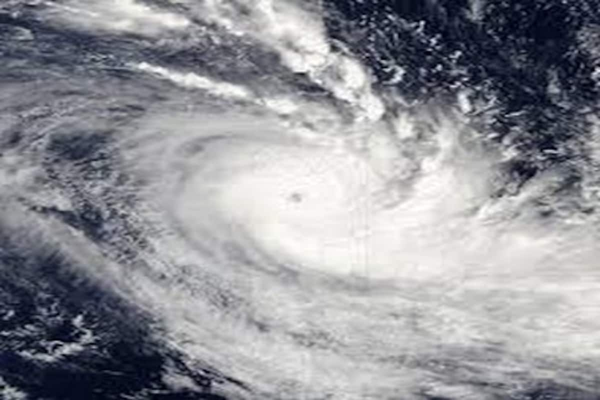
South Andaman sea likely to withstand a Cyclonic Storm by May 8 – IMD
“Yesterday morning, a low-pressure area was formed in south Andaman and southeast Bay of Bengal. We expect it to intensify. It will move in northwest direction and become a cyclonic storm by 8th evening. This will reach Odisha coast on 10th,” Umashankar Das, senior scientist at IMD stated.
The latest information concerning a low pressure area being formed over the South Andaman sea, which is, more likely to get intensified into a deep depression in next couple of days; being a serious issue of concern, has been conveyed by IMD(India Meteorological Department); the piece of information is looming large on social media since Thursday. It has been declared by IMD in its latest bulletin that, after the formation of a Low Pressure area over South Andaman Sea on 6th May its intensification into a Depression during subsequent 48 hours with northwestwards movement is highly expected.
“Yesterday morning, a low-pressure area was formed in south Andaman and southeast Bay of Bengal. We expect it to intensify. It will move in northwest direction and become a cyclonic storm by 8th evening. This will reach Odisha coast on 10th,” Umashankar Das, senior scientist at IMD stated.
Advertisement
Source: News18
The weather department has stated, based on the weather system that, heavy to very heavy rainfall is expected at isolated places in Andaman and Nicobar Islands till May 8. Fishermen have been advised by the department to not venture into Andaman Sea during the next three days, and into southeast and central Bay of Bengal during the next five days.
Advertisement
Heavy rainfall alert:
IMD presumed: heavy to very heavy rainfall at the isolated places over Andaman and Nicobar islands during 6th to 8th May. Reportedly, over the Andaman Sea and adjoining Southeast and Eastcentral Bay of Bengal till 9th May tempestuous weather is expected.
Although, trough/wind discontinuity over the peninsular India in lower tropospheric levels have become the causes of tensity, as it is highly expected to give rise to rainfall (from scattered to fairly widespread or light/moderate rainfall with thunderstorm/lighting/ gusty winds) in Kerala & Mahe, South Interior Karnataka, Tamil Nadu, Puducherry & Karaikal and isolated rainfall activity over Coastal & North Interior Karnataka, Andhra Pradesh and Telangana regions during next 5 days.
Meanwhile, due to trough/wind discontinuity over peninsular India in lower tropospheric levels, scattered to fairly widespread light/moderate rainfall with thunderstorm/lightning/gusty winds very likely over Kerala & Mahe, South Interior Karnataka, Tamil Nadu, Puducherry & Karaikal and isolated rainfall activity over Coastal & North Interior Karnataka, Andhra Pradesh and Telangana during next 5 days.
In Jammu, Kashmir, Ladakh, Gilgit-Baltistan & Muzaffarabad, Himachal Pradesh and Uttarakhand; due to a western disturbance, isolated light rainfall is highly expected in the duration of next 3 days.
The weather department has warned that gusty winds of up to 70 kmph, lightning and heavy rainfall could disrupt transport, damage power infrastructure and affect standing crops in several parts of the country.
Heavy rain warnings have also been issued for Odisha, Jharkhand, Bihar and Gangetic West Bengal, while Uttarakhand is expected to come under a heavy rainfall alert from July 15 before the wet spell extends to parts of the western Himalayas later this week.
Poomani, a pioneering voice in Tamil Dalit literature and one of the most celebrated chroniclers of the karisal Bhoomi – the arid, rain-shadow region with black cotton soil in southern Tamil Nadu - passed away late on Sunday night in Chennai after a prolonged illness.