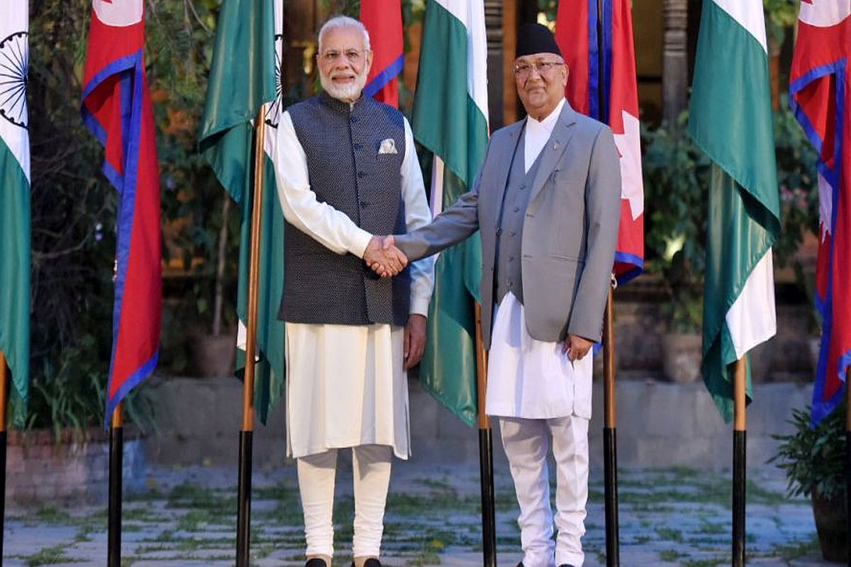
The Government on Thursday said that the country’s map “accurately depicts the sovereign territory of India” after Nepal strongly objected to New Delhi’s latest depiction of the Kalapani area.
Ministry of External Affairs spokesperson Raveesh Kumar said the “new map has in no manner revised India’s boundary with Nepal”.
Advertisement
He further said that the boundary delineation exercise with Nepal is ongoing under the existing mechanism.
India also reiterated its commitment to finding a solution through dialogue in the spirit of close and friendly bilateral relations between the two neighbours.
Nepal’s objections came after the Indian Home Ministry released the political map of India, showing Kalapani within Indian borders. The map was released after the creation of the new Union Territories of Jammu and Kashmir and Ladakh.
The Indian map places the Kalapani area under the Pithoragarh district in Uttarakhand whereas Kathmandu considers the unresolved area to be part of Nepal’s Darchula district.
“The Nepal government firmly believes that the Kalapani is a part of Nepal,” read a press statement issued by Nepal’s foreign ministry.
It said that “any unilateral actions along the Nepal-India border will be unacceptable” to the Nepal government since the foreign secretaries of the two countries have already been assigned by the Nepal-India Joint Commission to find a solution on the unresolved border disputes in consultation with the border experts, according to Nepali media reports.