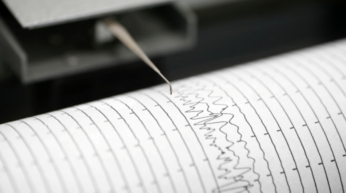
A Category IV earthquake hit Nicobar Islands at 3.24 pm on Sunday. The quake measuring 4.7 on the Richter scale had its epicentre 70 km under the seabed, about 80 km to the east of Campbell Bay.
No tsunami warning was issued following the quake. There were no reports of injuries or damage in the Great Nicobar Island, which is home to the INS Baaz naval air station.
Advertisement
The Indian Meteorological Department (IMD), which monitors earthquakes in the Indian subcontinent, said that tremors generated by the quake gradually dissipated in intensity by the time it reached Port Blair.
IMD reported that tremors recorded at Port Blair and Mayabunder were in Category I, at which they are never felt.
This is the second earthquake in four days to strike the region. A series of three earthquakes had hit the island chain in less than 24 hours on Wednesday and Thursday with two measuring 5.2 on the Richter scale – both near Andaman Islands. The third was measured at 4.5 on the Richter scale rocked Nicobar Island at 5.25 am on Wednesday.
The epicentre of the quake recorded at Nicobar Island Region today lies on the same fault line on which the magnitude 9.1 earthquake struck the Indian Ocean Region in 2004 triggering a tsunami that killed over 2 lakh people. Around 1.75 million people were displaced in the 2004 quake.
The epicentre of that quake, just north of Indonesia’s Simeulue Island, is about 400 km to the south of the epicentre of today’s quake.