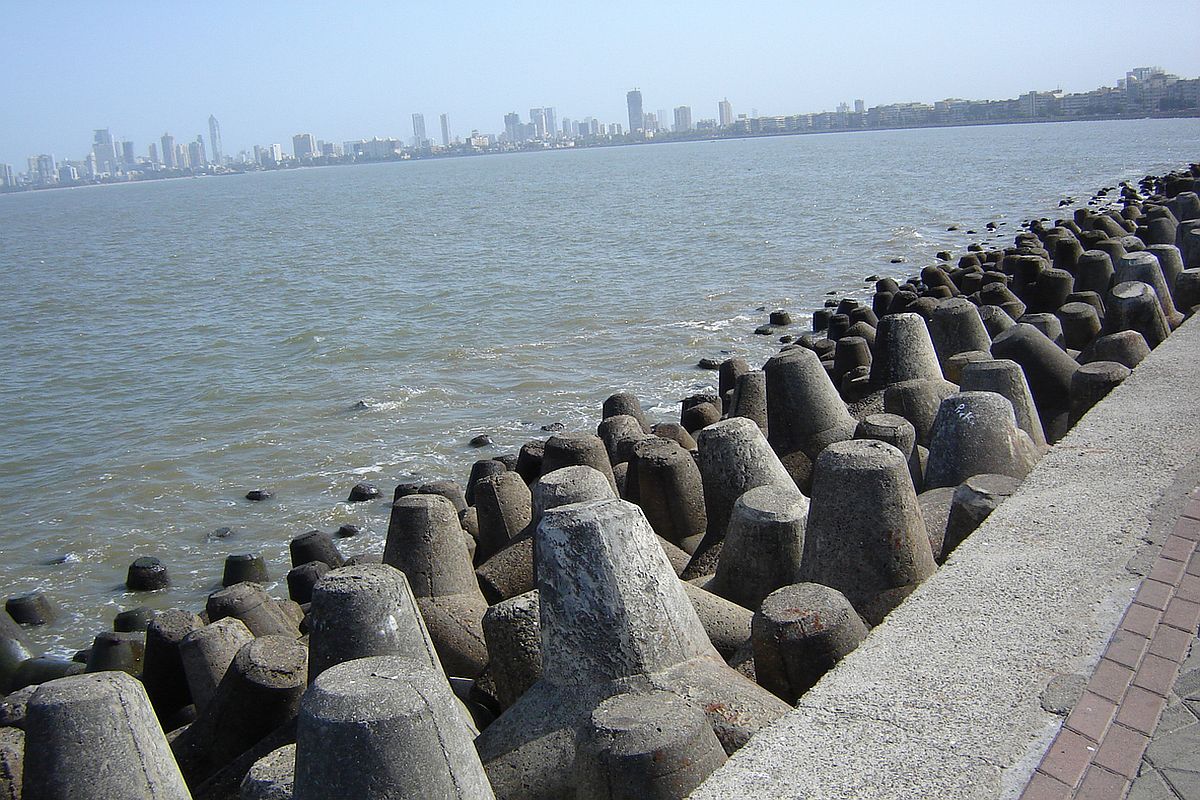
The depression in the Arabian Sea is slated to further intensify into a cyclonic storm ‘Nisarga’ and cross north Maharashtra and Gujarat coasts between Harihareshwar in Raigard district and Daman on June 3, the India Meteorological Department (IMD) said on Monday.
“It is very likely to move nearly northwards initially till June 2 morning and then recurve north-northeastwards and cross north Maharashtra and south Gujarat coasts between Harihareshwar (Raigad, Maharashtra) and Daman during evening or night of June 3,” IMD’s scientist Ananda Kumar Das stated.
Advertisement
According to Das, the depression is located about 370 kilometres southwest of Goa’s Panjim, 690 kilometres south-southwest of Mumbai and 920 kilometres south-south-west of Gujarat’s Surat.
Harihareshwar is situated over 200 kilometres from both Mumbai and Pune, and is over 360 kms from Daman.
The low-pressure area over the south-east and adjoining east-central Arabian Sea and Lakshadweep area had concentrated into a depression.
A low-pressure area and a depression are the first two levels on the IMD’s eight-category scale used to classify cyclones based on their intensity.
As per the IMD, the depression is likely to intensify into a deep depression by Monday evening.
Further, it will become furious and turn into a cyclonic storm in the wee hours of the morning on June 2 and then into a severe cyclonic storm by evening or night of June 3.
Once it becomes a severe cyclonic storm, it will have a wind speed of 105-115, gusting to 125 kilometre per hour at 5.30 p.m. on June 3.
According to the IMD, it again will weaken into a cyclonic storm with wind speed of 60-70, gusting to 80 kilometre per hour at 5.30 p.m. on June 4.
“The depression in the south-west Arabian Sea is likely to concentrate into a deep depression in next 12 hours and in next 24 hours it is going to become a cyclone,” said Anand Kumar Sharma, Deputy Director-General of IMD.
“Till June 2 it will move in northerly direction then it will move towards northeast direction & cross Harihareshwar & Daman coast on the evening of June 3,” he added.
Meanwhile, rain lashed parts of Mumbai, earlier today. IMD has predicted cloudy sky with light rain for the day.
Maharashtra and Gujarat are on pre-cyclone alert. Fishermen are advised not to venture into the sea for the next few days as it is expected to be very rough.