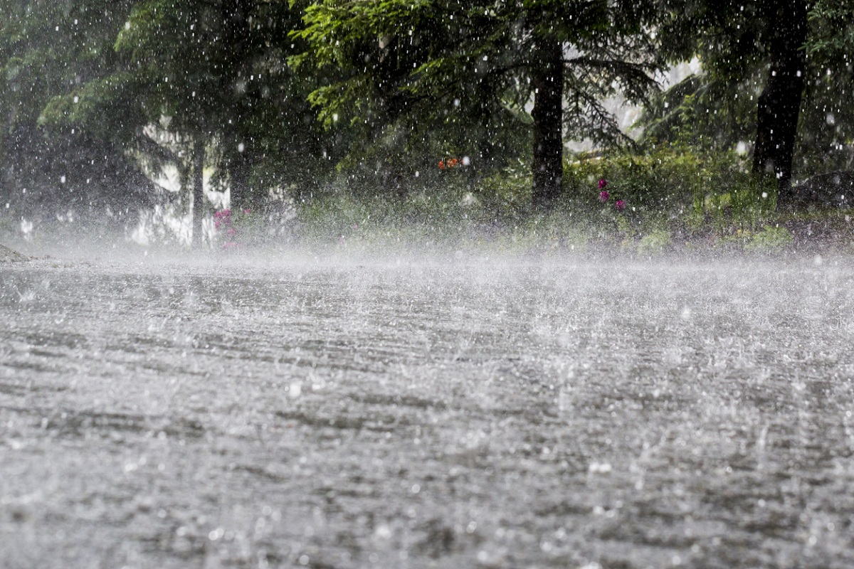
The Meteorological Department (MeT) forecast heavy rain in parts of Prakasam, Guntur, Krishna, West Godavari, East Godavari, Visakhapatnam, Kurnool and Cuddapah until 8 a.m. on Tuesday.
Similarly, it predicted thunderstorms with lightning over the next four days in parts of north coastal Andhra Pradesh, Yanam and south coastal areas.
Advertisement
“The low-pressure area over south Chhattisgarh and neighbourhood with associated cyclonic circulation extending up to 4.5 km above mean sea level tilting southwestwards with height persists,” said a MeT official.
She said the monsoon trough at mean sea level now passes through Bikaner, Ajmer and Shivpuri while the centre of a low-pressure area is over south Chhattisgarh and neighbourhood and then southeastwards to the west-central Bay of Bengal.
“The east-west shear zone roughly along latitude 15 degrees north between 5.8 km and 7.6 km above mean sea level persists,” the MeT official added.
Though Sunday was mostly cloudy with a slight drizzle in the evening in Bhimavaram in West Godavari district, Monday started off with a heavy drizzle that subsided by late morning.
However, Monday continues to be cloudy in several places across the state.