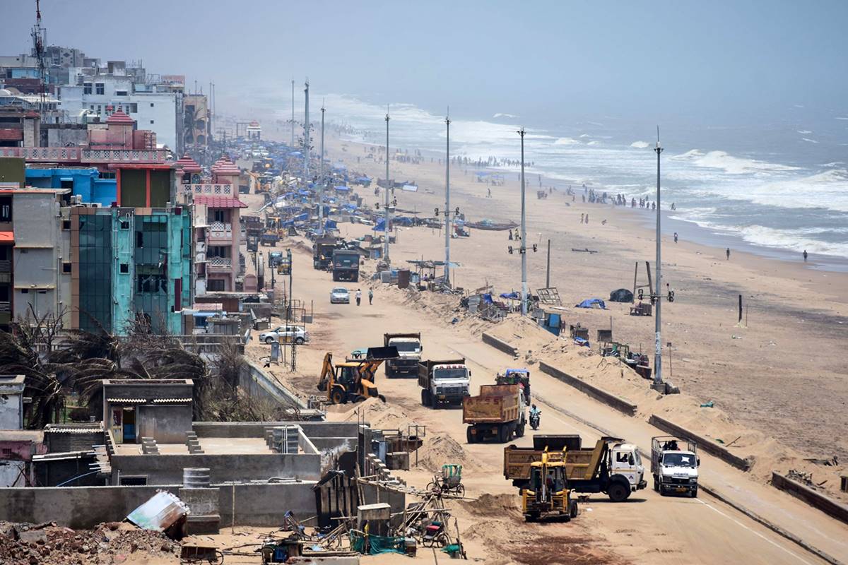
Extremely severe cyclonic storm Fani, which pulverised parts of coastal Odisha on 3 May , had the longest lifespan among tropical cyclones observed in the Bay of Bengal, according to the Centre for Environment and Climate (CEC) of the SOA Deemed to be University. As per the CEC records, the Cyclone Fani lifespan was of 11 days “in the sea and land put together”.
“The elongated time period of the cyclonic storm continued for eleven days in the sea and land put together and had the longest lifespan ever observed in the Bay of Bengal,” said Dr SC Sahu, Director of CEC.
Advertisement
The peculiarity of this strong cyclonic storm was the persistence of its intensity till it crossed the coast and the fact that it did not weaken following interaction with land after crossing the coast close to Brahmagiri in Puri district and high temperature in the Indian region though it moved parallel along the east coast from Tamil Nadu to Odisha.
Besides, it did not cause extreme heavy rainfall in Odisha as was anticipated.
The storm surge height, as reported by the local people at Satapada, was about 10 feet while the wind speed was more than 200 km per hour.
READ | Rs 524 cr damage caused by Cyclone Fani in Odisha
The cyclonic storm, which started as a low pressure near the equator on 24 April , took about two hours to cross the coast after landfall and then headed northwards towards Bhubaneswar and nearby areas.
Odisha’s capital city was within the eye of the cyclone, the diameter of which was about 28 km and it moved at a speed of 22 km.
Dr Sahu said there had been a lull in the cyclone for about 30 minutes at noon after which the wind direction as well as the speed changed.
The wind speed increased as the eye crossed over to land due to a combination of wind velocity and downdrafts caused by thunderstorm over Bhubaneswar at that time.
The cyclone maintained its intensity till it reached Bhubaneswar and then changed direction to move in a northeastward direction towards Mayurbhanj.
READ | Sanction 5 lakh PMAY houses for cyclone-hit areas as special case: Odisha CM to Centre
The devastation wrought by ‘Fani’ over land was mainly due to high wind speed and fast movement. But it would have caused greater devastation had it remained stationary or moved at low speed on land for some time, said Dr Sahu, an eminent meteorologist.
After weakening of the system, the temperature in Odisha’s interior districts rose suddenly and the same is likely to rise further from 17 May, touching 45 degrees Celsius in most locations in western and interior districts. Sahu said the situation was likely to continue for about a week.
Tropical cyclones are known by various names in different parts of the world such as hurricane in north Atlantic Ocean and eastern North Pacific Ocean, typhoons in western North Pacific Ocean around Philippines, Japan and China and tropical cyclones in western South Pacific Ocean and Indian Ocean.