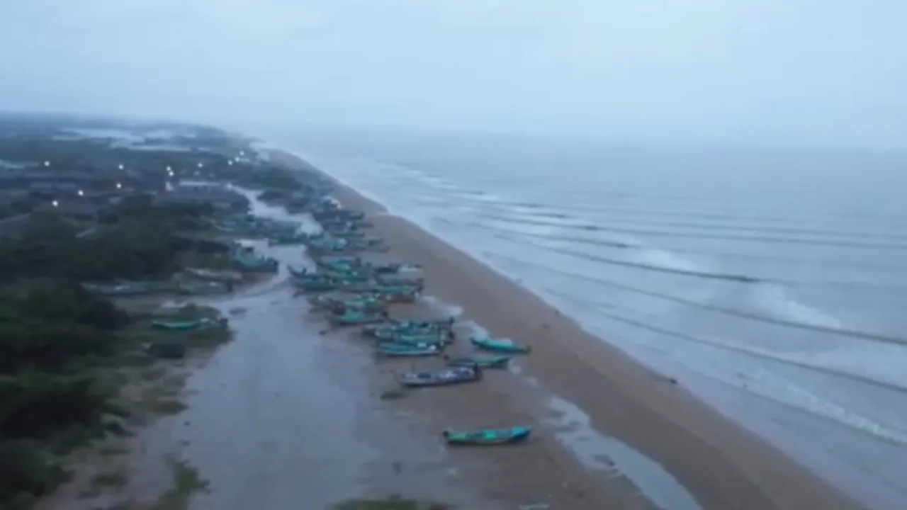
As Cyclone Ditwah moves towards southern India, heavy rainfall lashed parts of Tamil Nadu. Heavy rain accompanied by strong winds lashed the Kodiyakarai beach area near Vedaranyam.
As a result, the entire Kodiyakarai region appeared to be covered in darkness.
Advertisement
As per the India Meteorological Department (IMD), Cyclone Ditwah will make landfall on Sunday. Though it is not clear whether it will make landfall near Chennai, the state government has said it is completely ready to deal with any situation.
“The Cyclonic Storm Ditwah over coastal Sri Lanka and adjoining southwest Bay of Bengal moved north-northwestwards with the speed of 8 kmph during the past 6 hours and lay centred at 5.30 am today over the southwest Bay of Bengal and adjoining north Sri Lanka,” the IMD said.
“There has been no major effect due to the rain so far,” Ramachandran was quoted as saying by a news agency. “However, the state government is continuously monitoring the situation and has readied teams for rescue and relief operations,” as per the news agency.
. The storm exited Sri Lanka on Saturday afternoon after causing casualties and several injuries.
The IMD added that Ditwah is likely to intensify slightly and is expected to move north-northwestwards.
IMD Director General of Meteorology Mrutyunjay Mohapatra told ANI about the path the storm is likely to chart after leaving Sri Lanka.
“…There could be a slight intensification. With this wind speed, the cyclone will continue to move north-northwestwards and reach near the north Tamil Nadu and Puducherry coast by the 30th early morning,” Mohapatra told the news agency.
Cyclone Ditwah: Where is rain expected in the next few days?
The weather office had forecasted heavy rainfall in the southern and Cauvery delta districts of the state from November 29 to 30.
Showers along the Tamil Nadu coastline are expected to intensify as the storm gets closer, according to the IMD’s prediction on Saturday. “This rainfall can lead to localised inundation and flooding. Especially in urban areas, flooding can occur. In hilly areas, flash-flood-like situations can also occur,” Mohapatra had told ANI.
The agency had issued a warning of “heavy to extremely heavy rainfall” across Tamil Nadu, south Andhra Pradesh, and Puducherry for the next two days.
A red alert had been issued for Cuddalore, Mayiladuthurai, Villupuram, Chengalpattu, and Puducherry due to the likelihood of extremely heavy rainfall.
“In coastal Andhra Pradesh–Yanam and Rayalaseema, light to moderate rainfall at most places with heavy to very heavy rainfall at isolated places is expected on Saturday, and heavy to very heavy rainfall at a few places and extremely heavy rainfall at isolated places on Sunday,” the IMD had said.
Meanwhile, India had dispatched food items and essential relief supplies in the wake of the devastation caused by Cyclone Ditwa in Sri Lanka.
Prime Minister Narendra Modi had expressed his condolences and pledged more assistance to help those affected by the cyclone.