On the fourth day of the ongoing Glacial Lake Expedition in North Sikkim, the team split into two groups for detailed field investigations.
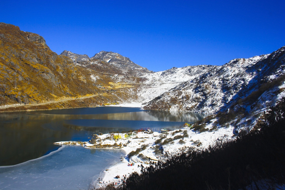
One subgroup trekked to Shako Chho Lake (4,900 m), where glacial lake outburst flood (GLOF) risk mitigation measures are being explored. Here, the team carried out morphometric studies and monitored water levels as part of a plan to install solar pumps to regulate the lake’s volume.
Advertisement
The second subgroup visited the Sora funnel area in the Chhombo Chu valley, where the department of mines and geology undertook 3D terrain mapping using a UAV LiDAR drone. A complementary subsurface geophysical survey using electrical resistivity tomography (ERT) was also conducted to understand the area’s geological characteristics.
The day concluded with a halt at Thangu army camp, from where the expedition will proceed tomorrow to ascend the Lungnak La pass and enter the Lhonak valley, a critical zone for monitoring glacial lakes and associated hazards.
This expedition, combining cutting-edge technology with on-ground surveys, is part of a broader effort to strengthen early warning systems and design long-term mitigation strategies for glacial lake outburst risks in the Eastern Himalayas.