Tamil Nadu braced for another wet day on Wednesday as the remnant of Cyclone Ditwah continued to hover close to the state’s coast, triggering widespread rain across the northern and western belt. The India Meteorological Department (IMD) said the weakened system remained positioned near 12.1°N and 80.2°E, roughly 100 km south of Chennai and about 40 km from Puducherry, moving very slowly towards land.
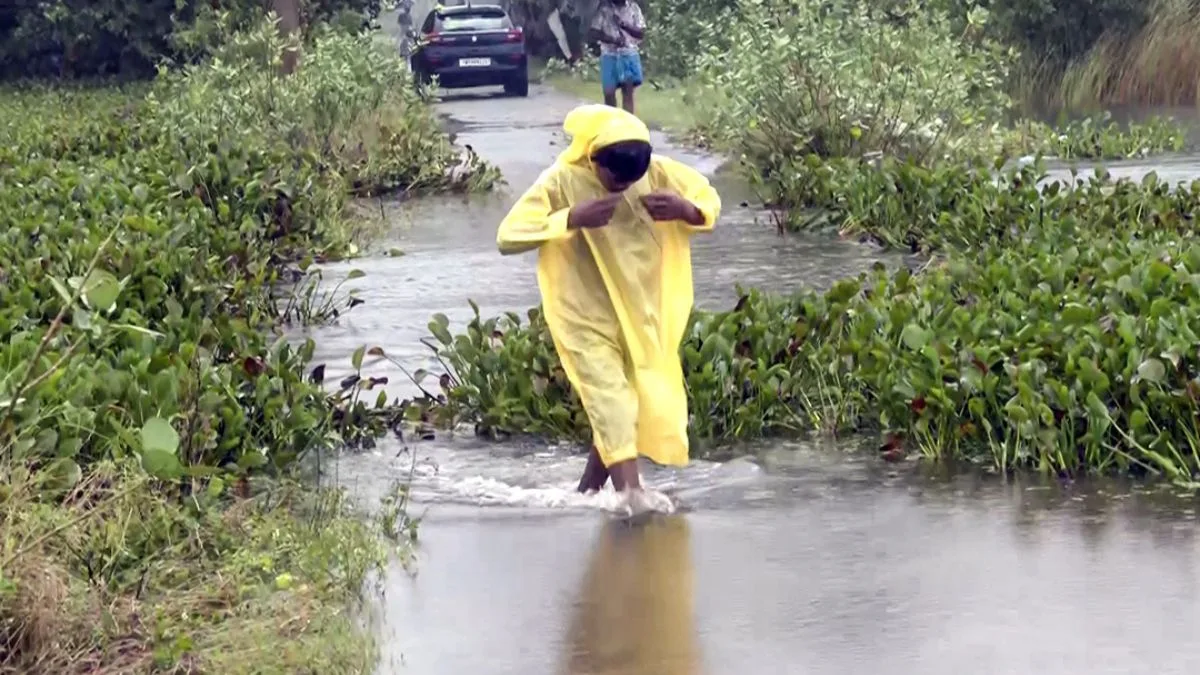
Chennai and the neighbouring districts of Tiruvallur, Kanchipuram and Chengalpattu reported steady rain from early morning, adding to two days of persistent downpour. Large stretches of Velachery, Ambattur, GST Road, Arcot Road, and several interior residential pockets remained waterlogged. Traffic slowed across key junctions as low-lying areas struggled to drain overnight rain.
Advertisement
Schools closed across the northern belt
With several school zones and access routes still flooded, the administrations of Chennai, Kanchipuram, and Tiruvallur announced a holiday for schools and colleges on Wednesday. Chengalpattu restricted its closure to schools alone, while Ranipet declared a holiday in Arakkonam and Nemili taluks. Cuddalore, Villupuram and Kallakurichi also kept schools shut as a precaution.
Collectors said the decision was taken after multiple stretches became unsafe for student movement and with more spells expected through the day.
Western Tamil Nadu braces for heavy rain
The IMD’s early morning bulletin warned of heavy rain over Nilgiris, Erode and Coimbatore, with the northeast monsoon staying active over the region. Tenkasi, Dindigul, Salem, Tiruppur, Theni, Tirunelveli and Kanniyakumari may also receive rain in isolated pockets. The weather warning maps in the IMD national bulletin mark parts of western and coastal Tamil Nadu under “Watch/Be Aware” status for the day.
Residents in hilly terrain, especially in the Nilgiris and the Western Ghats, have been advised to remain cautious due to the risk of localised landslides or mudslides.
Strong winds and rough sea along the coast
Despite the system losing intensity, IMD recorded squally winds reaching 35–45 kmph and gusting to 55 kmph along the Tamil Nadu–Puducherry–south Andhra coastline. Conditions are expected to ease gradually by Wednesday morning, but the sea is likely to remain very rough until noon
Authorities extended a total suspension of fishing operations along the Tamil Nadu–Puducherry coast and adjoining Bay of Bengal till noon. Fishermen already out at sea have been advised to avoid the marked zones in the IMD’s coastal warning charts.
Flooding, crop damage and travel delays expected
The IMD bulletin listed possible impacts for north coastal Tamil Nadu, including the breaking of tree branches, damage to banana and papaya plantations, flooding of kutcha roads, waterlogging in low-lying areas and temporary disruption of traffic. Riverine flooding, especially in smaller catchments, cannot be ruled out. Visibility may reduce sharply during heavier spells, the department warned.
Disaster management teams in Chennai, Tiruvallur and Coimbatore districts have been placed on alert, with pumps and emergency crews deployed in frequently flooded pockets. Residents have been asked to stay indoors during periods of strong winds or lightning, avoid sheltering under trees and refrain from travelling through flooded subways or coastal stretches.
Rain likely to continue through the day
With the system lingering near the coastline and the northeast monsoon active, intermittent rain is expected in and around Chennai through Wednesday. Western districts may see intense spells at one or two places, while the southern belt could receive light showers.
Officials noted that a clearer picture will emerge once the weakened system moves fully inland and loses its circulation.