Boat capsizes in Odisha’s Jharsuguda: Woman dead, seven missing
A 35-year-old woman was killed, and seven others, including three children, are missing after a boat they were travelling in capsized in Odisha's Jharsuguda, police said on Saturday.
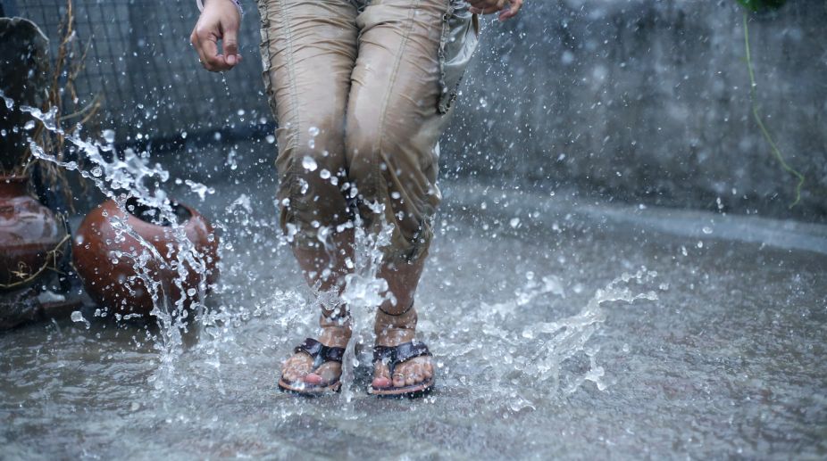
Odisha is likely to receive heavy to very heavy rainfall due to formation of a low pressure area created in…
(Photo: Getty Images)
Odisha is likely to receive heavy to very heavy rainfall due to formation of a low pressure area created in Northwest Bay of Bengal off North Odisha and Gangetic West Bengal coast.
“Heavy to very heavy rainfall likely to occur at one or two places over the districts of coastal Odisha and heavy rainfall at one or two places over districts of interior Odisha during next 24 hours,” the latest bulletin issued by the India Meteorological Department (IMD) said.
Under the influence of the upper air cyclonic circulation over Northwest Bay of Bengal and neighbourhood, a low pressure area has formed over Northwest Bay of Bengal off North Odisha and Gangetic West Bengal coast at 0830 hours today.
Advertisement
This system is likely to cause rain or thunder shower at most places over Odisha, it said. Gusty surface wind from Northwesterly direction with speed reaching 35-40 kmph gusting to 45 kmph likely to prevail along and off Odisha Coast.
As the sea condition would be moderate to rough, the fishermen are advised to be cautious while venturing into sea.
Meanwhile, most places of the state have received light to moderate rainfall during last 24 hours. While 45 mm rainfall have been recorded in Cuttack, 36 mm rain occurred in Sundergarh followed by 30 mm in Puri yesterday, they said.
Advertisement