China launches new remote-sensing satellite
The recent launch was the 325th mission of the Long March series carrier rockets.
China on Wednesday successfully launched a pair of high-resolution remote sensing satellites to get commercial images. The satellites were launched…
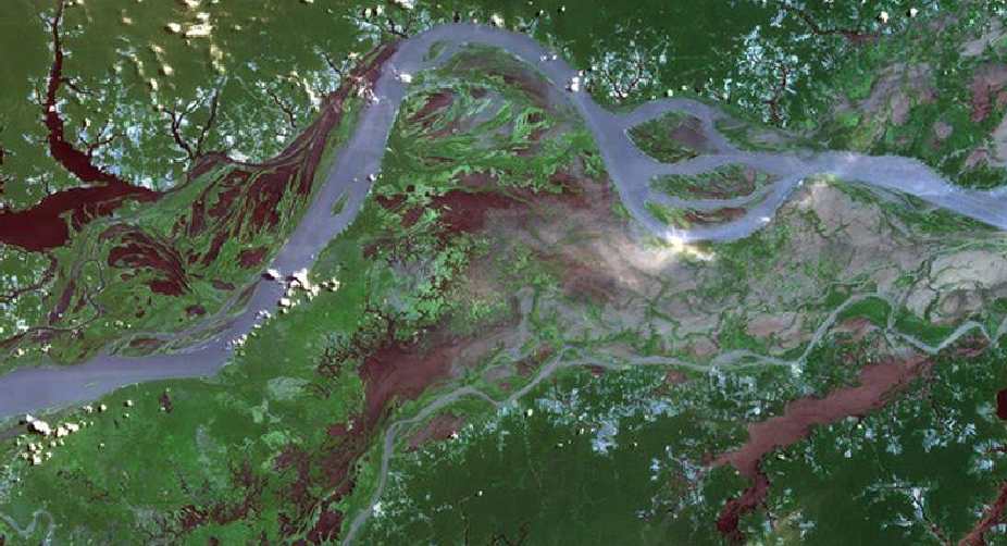
Representative image (Getty Images)
China on Wednesday successfully launched a pair of high-resolution remote sensing satellites to get commercial images.
The satellites were launched from the Taiyuan Satellite Launch Centre in Shanxi Province, state-run Xinhua news agency reported.
The satellites, SuperView-1 01/02, blasted off at 11:23 am Beijing time on the back of a Long March 2D rocket.
Advertisement
They are able to provide commercial images at 0.5-meter resolution.
The satellites launch followed release of a white paper on Tuesday which said China plans to form a BeiDou network consisting of 35 satellites for global navigation services by 2020. It is expected to compete with America s Global Positioning system.
China plans to start providing basic services to countries along the Silk Road Economic Belt and 21st-century Maritime Silk Road in 2018, it said.
Besides satellite services, the paper said China will launch a lunar probe in 2018 to achieve world s first soft landing on the far side of the Moon to show case its ambitious space programme, which included several manned missions, building permanent space station and reaching to Mars.
Advertisement